drawing, print, paper, engraving
#
drawing
#
dutch-golden-age
# print
#
paper
#
linocut print
#
geometric
#
ancient-mediterranean
#
cityscape
#
engraving
Dimensions: height 245 mm, width 333 mm
Copyright: Rijks Museum: Open Domain
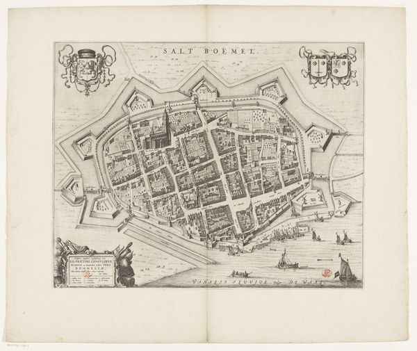
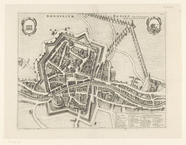
Pieter van der Keere created this map of Alkmaar using etching, around the late 16th or early 17th century. During this period, the Dutch Republic was asserting its identity through trade and military might, which maps like this served to facilitate and celebrate. The image illustrates not just geography, but the city's identity as a place of commerce and strategic importance. Note the intricate details of the fortifications, reflecting the city's defenses during the Eighty Years' War, a struggle for independence that shaped Dutch identity. The inclusion of coats of arms and descriptive text underscores the city’s pride and civic identity. Imagine how such a map might have been used, perhaps in town meetings or by merchants planning their routes. In essence, this map is more than a guide; it's a statement of Alkmaar’s place in a dynamic and changing world.
Comments
No comments
Be the first to comment and join the conversation on the ultimate creative platform.
More like this