print, engraving
#
baroque
#
dutch-golden-age
# print
#
cityscape
#
engraving
Dimensions: height 398 mm, width 532 mm
Copyright: Rijks Museum: Open Domain
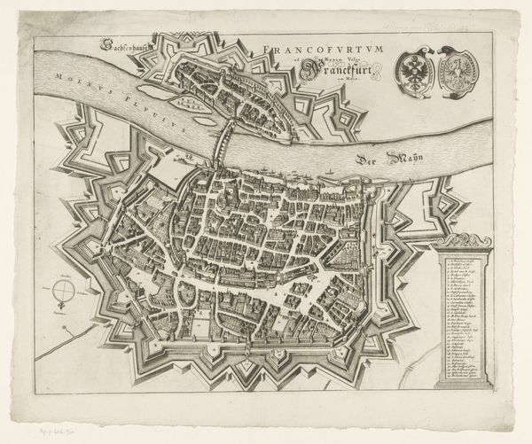
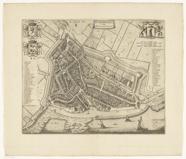
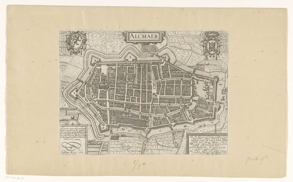
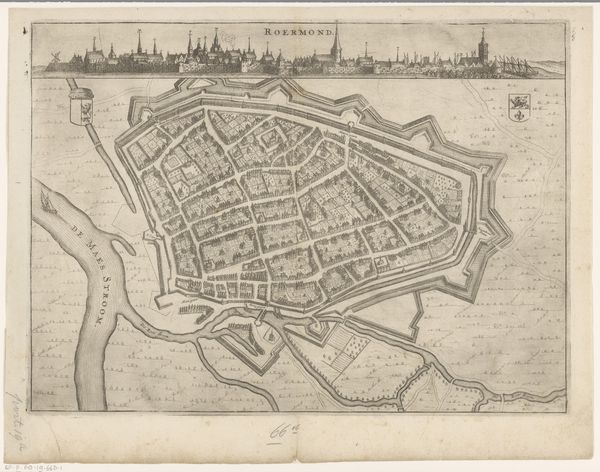
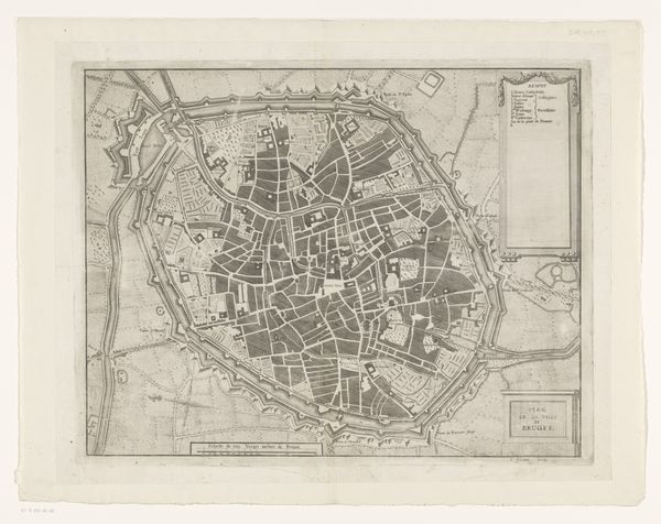
This is an anonymous print of Antwerp whose date is unknown. The map offers a bird’s eye view of the city and its surrounding landscape, the estuary of the Scheldt river, and a detailed register of important civic buildings. The history of cartography provides a valuable lens into the politics of imagery and the public role of art, particularly in 16th and 17th century Europe. Antwerp had grown into one of the most important commercial and financial centers in Europe, its port a major hub of international trade. The map is a celebration of Antwerp’s civic institutions and mercantile power. It depicts the city’s fortifications, its public buildings, and the dense web of streets and canals that sustained its vibrant economy. Maps like these were not just geographical tools; they were also statements of civic pride and political ambition. They reflect the social conditions that shaped artistic production, and the institutions that gave art its public meaning. Further research into the history of Antwerp and of cartography would help us understand its original purpose.
Comments
No comments
Be the first to comment and join the conversation on the ultimate creative platform.
More like this