Dimensions: height 365 mm, width 465 mm
Copyright: Rijks Museum: Open Domain
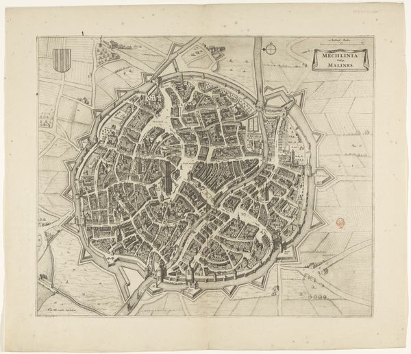
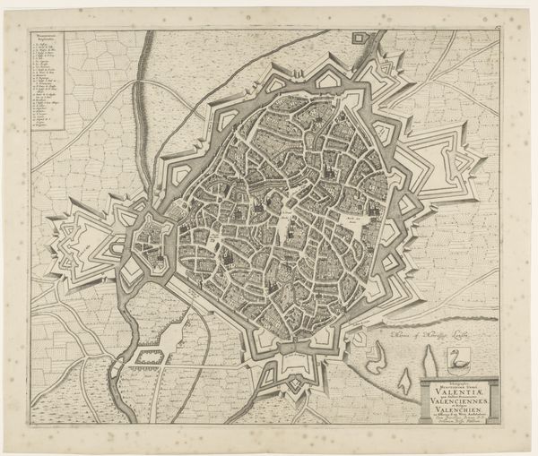
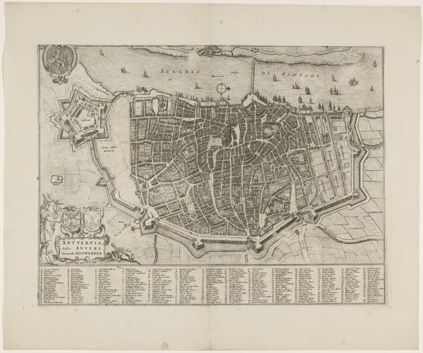
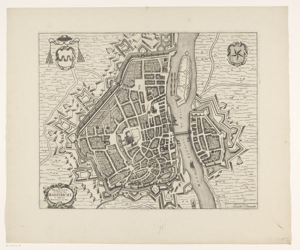
C. Janssens created this rendering of Plattegrond van Brugge during the 19th century. During this time, the act of mapping was not merely a scientific endeavor but a political one, deeply entwined with power, control, and identity. Reflect on how urban planning often mirrors societal structures, dictating who has access to what spaces and resources. In the 19th century, rapid industrialization and urbanization amplified existing social disparities. The city of Bruges, like many others, was undergoing significant transformations. Consider the emotional weight of such precise renderings. For those in power, maps were tools of governance and surveillance; for the marginalized, they could represent exclusion or erasure. The act of mapping also carries an emotional dimension, embodying both the desire for order and the imposition of it. This map invites us to consider how cities are not just physical spaces but also complex tapestries of human experience, shaped by power, identity, and emotion.
Comments
No comments
Be the first to comment and join the conversation on the ultimate creative platform.
More like this