drawing, print, ink, engraving
#
drawing
#
baroque
# print
#
ink
#
cityscape
#
engraving
Dimensions: height 419 mm, width 528 mm
Copyright: Rijks Museum: Open Domain
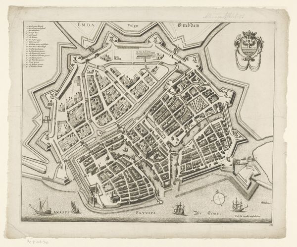
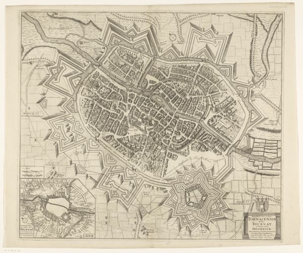
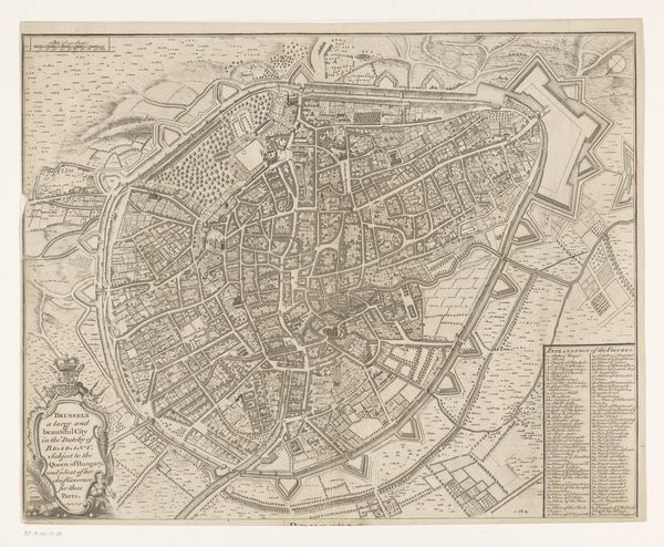
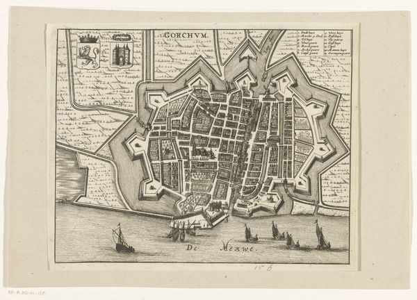
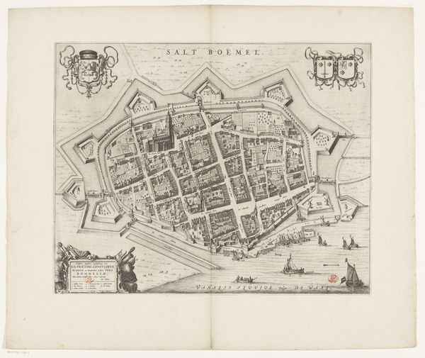
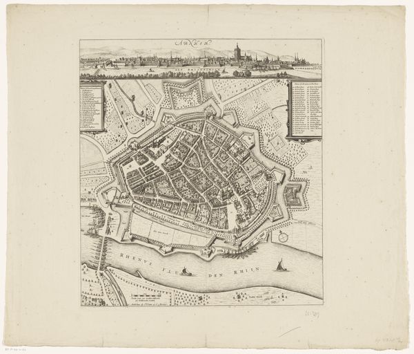
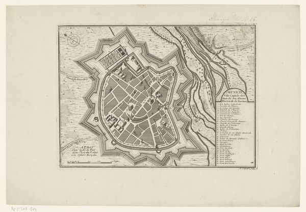
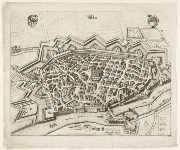
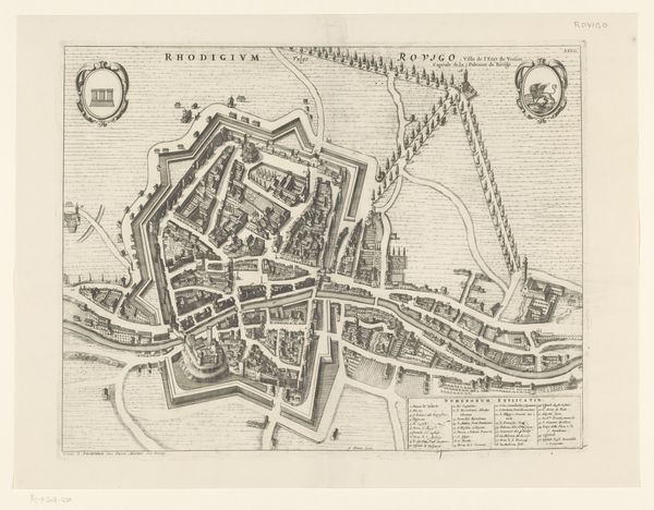
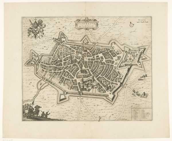
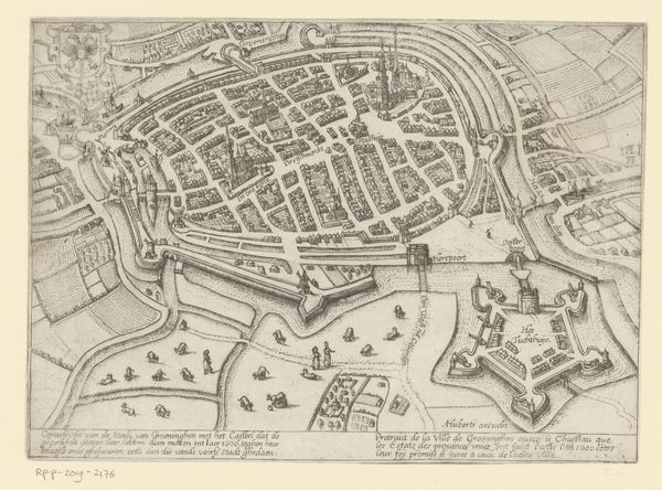
Curator: Here we have an anonymous drawing from around 1698 to 1704 titled "Plattegrond van Roermond," held here at the Rijksmuseum. It’s a cityscape rendered in ink and engraving, creating a highly detailed view of the town. Editor: My immediate reaction is to notice the overall geometrical nature of the composition; a tightly packed settlement defended by strong geometrical fortifications, almost like a cogwheel ready to shred invaders. Curator: Yes, these maps are artifacts of power; they speak to military strategy, economic control, and of course, representation of civic identity. The detailed street plans hint at a rigid social structure, likely reflective of the hierarchies and governance of the time. It reminds us that maps are not neutral documents. Editor: Indeed. And technically, I’m drawn to the exquisite control over line and shading; the graphic qualities that give texture and volume to architectural masses. It uses contrast and depth to construct an accurate and aesthetic vision. Curator: The river also serves as an artery, visualizing trade and communication but potentially acting as a border or even division within society, separating some neighborhoods from another in terms of resource distribution and sociopolitical status. Editor: Considering the formal language, one finds remarkable precision and care within the composition—the placement of various city blocks. See how the city conforms within an elaborate fortification system! I think the linear patterns highlight underlying tensions about boundaries, restrictions, or enclosure as the main conceptual subject. Curator: Exactly. While seemingly detached, art like this can inform discussions around urban planning and inequality. Who decides how spaces are organized and who benefits from these decisions? Editor: I see the graphic order within the map as a symbol that communicates a controlled environment, an aesthetic ideal of balance between nature, structure, and functional intention; therefore its meaning as an aesthetic whole stems from its configuration. Curator: Examining pieces like this helps us understand how cartography can be viewed critically; unpacking how power, ideology, and even artistic expression intersect and are encoded in visual representations. Editor: I agree completely. This piece exemplifies how a structured and aesthetically driven approach is still an intriguing way to create complex artistic meanings and engage history through line, form and pattern.
Comments
No comments
Be the first to comment and join the conversation on the ultimate creative platform.
 Collect
 React
React Comment
More like this