print, engraving
#
dutch-golden-age
# print
#
cityscape
#
history-painting
#
engraving
#
realism
Dimensions: height 423 mm, width 545 mm
Copyright: Rijks Museum: Open Domain
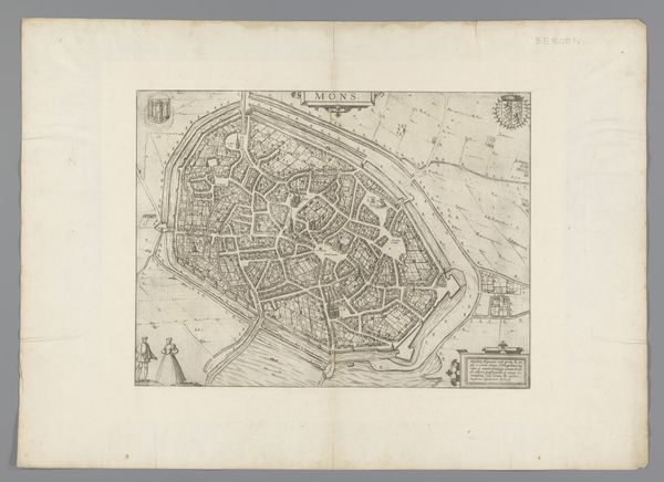
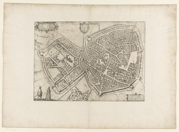
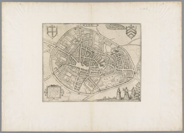
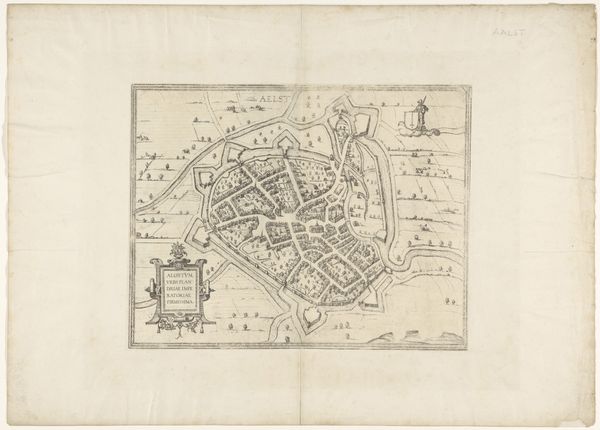
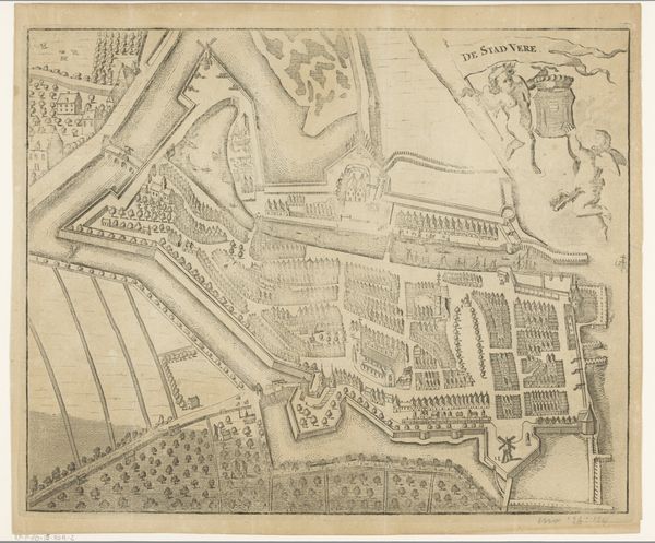
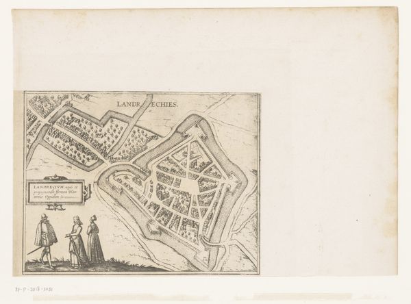
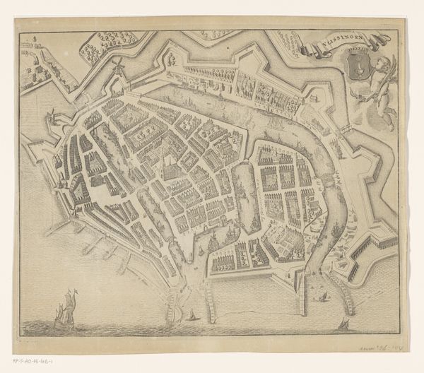
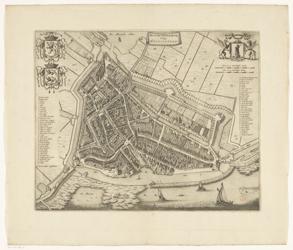
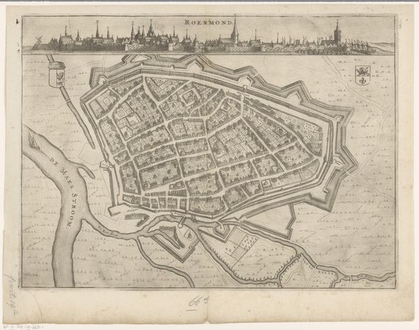
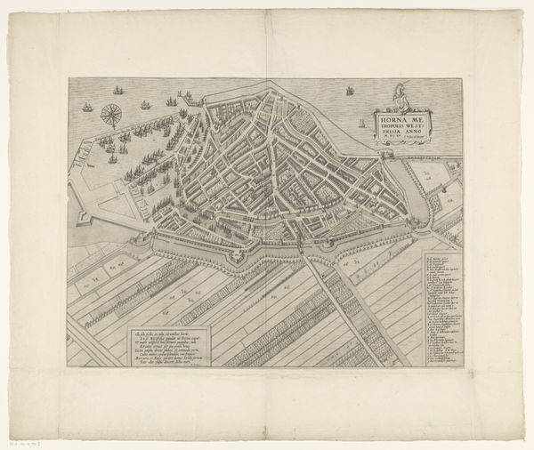
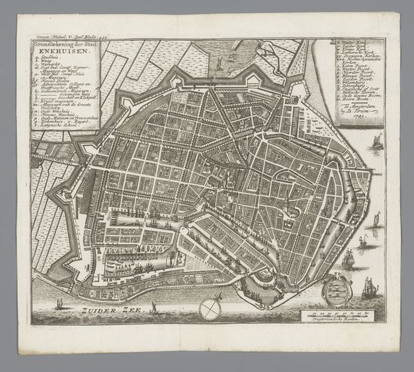
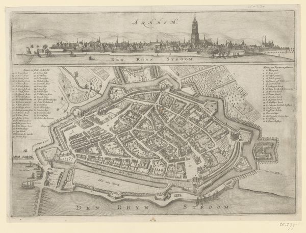
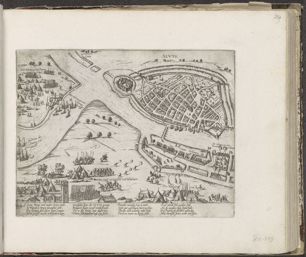
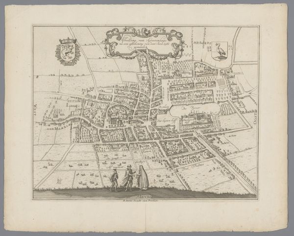
This is Frans Hogenberg's "Plattegrond van Namen," a map of the city of Namur, created as an engraving sometime between 1570 and 1590. This image gives us insight into the relationship between cartography, power, and civic identity in the late 16th century. Produced in the Netherlands during a period of intense political and religious conflict, the map presents Namur as an ordered, defensible space. Note how Hogenberg meticulously depicts the city's fortifications, reflecting the importance of military strategy in a turbulent era. Moreover, the inclusion of figures in the foreground, possibly citizens of Namur, subtly reinforces a sense of local pride and communal identity. These were the kind of images that shaped early modern Europeans’ understanding of their world. The historian consults a wide range of primary and secondary sources to unpack the dense layers of meaning embedded in such a seemingly straightforward image. The political role of art, especially imagery, allows us to consider the social conditions that shape artistic production.
Comments
No comments
Be the first to comment and join the conversation on the ultimate creative platform.
