drawing, print, ink, engraving
#
drawing
#
dutch-golden-age
# print
#
landscape
#
ink
#
geometric
#
line
#
cityscape
#
engraving
Dimensions: height 374 mm, width 513 mm
Copyright: Rijks Museum: Open Domain
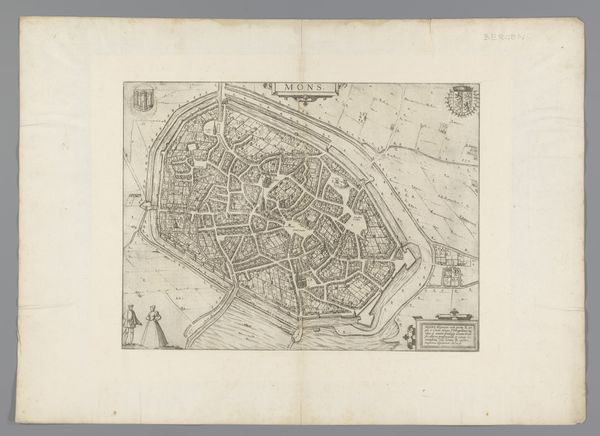
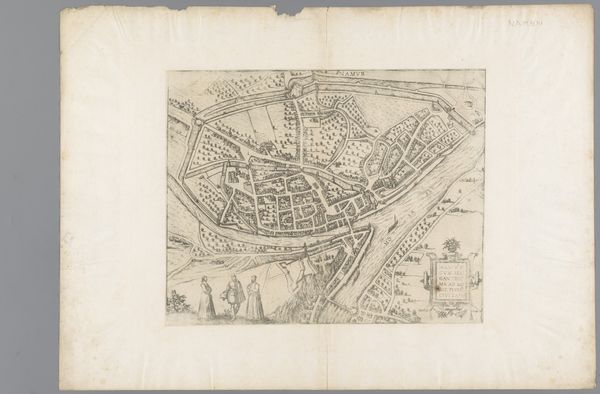
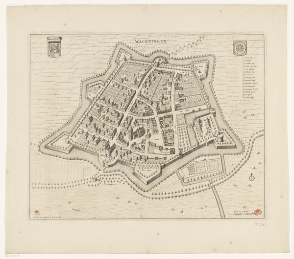
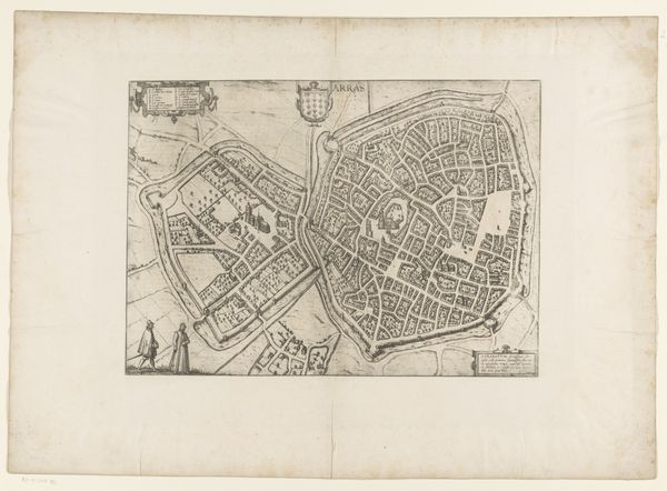
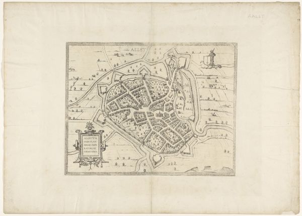
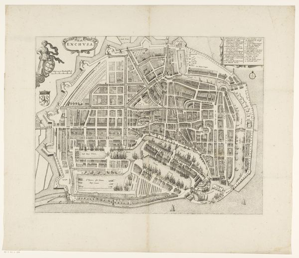
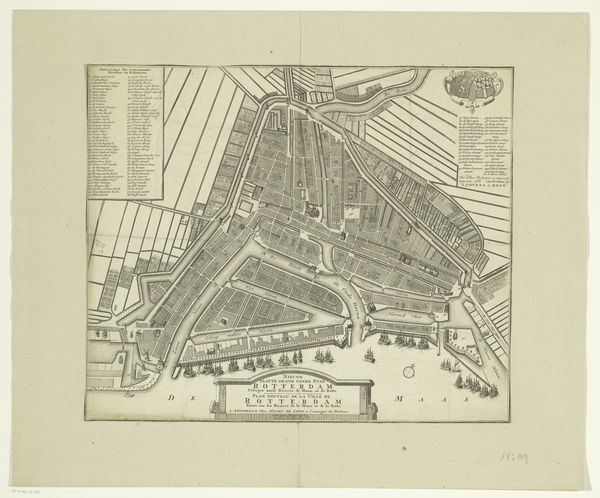
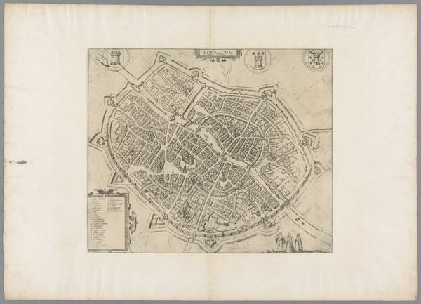
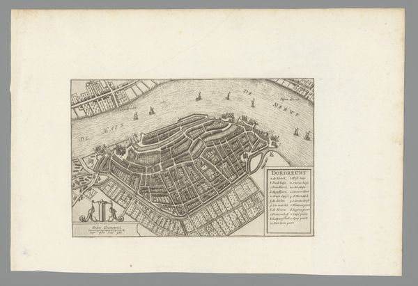
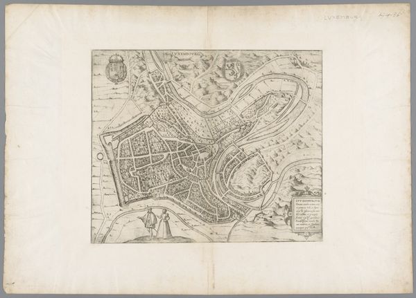
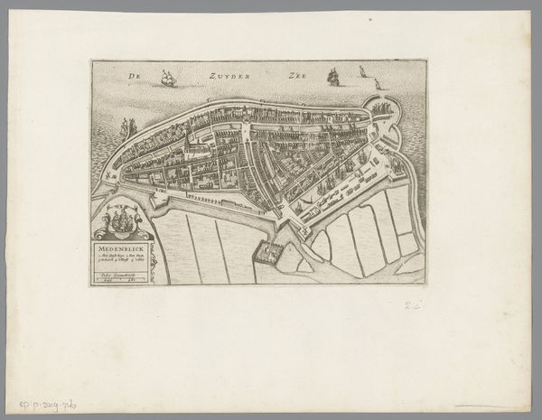
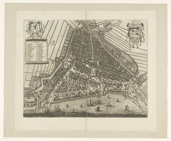
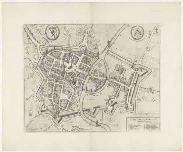
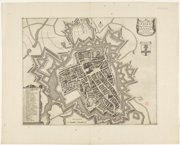
This is an undated, anonymous map of Hoorn, rendered with meticulous detail. Hoorn, a prominent city in the West Frisia region, was a crucial hub during the Dutch Golden Age, a period marked by immense economic and cultural flourishing, but also one underpinned by colonial exploitation and the transatlantic slave trade. This map invites us to consider how urban spaces were imagined and represented during a time of intense maritime activity and global exchange. The detailed rendering of Hoorn highlights the city's infrastructure, reflecting its economic and strategic importance. But it also serves as a reminder of the human stories, both visible and invisible, that shaped its history. The wealth that flowed through Hoorn was inextricably linked to the exploitation of distant lands and peoples. As we contemplate this map, let's remember that every line, every building, tells a story of power, ambition, and the complex legacy of a city that played a significant role in shaping the modern world.
Comments
No comments
Be the first to comment and join the conversation on the ultimate creative platform.
