print, etching, engraving
#
baroque
# print
#
etching
#
etching
#
cityscape
#
history-painting
#
engraving
Dimensions: height 433 mm, width 546 mm
Copyright: Rijks Museum: Open Domain
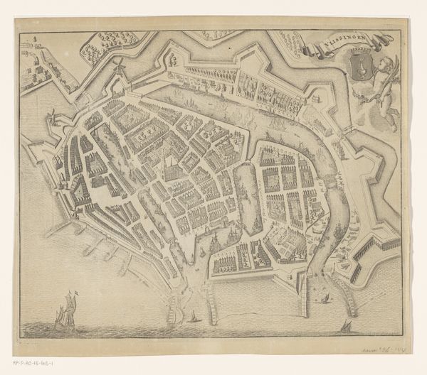
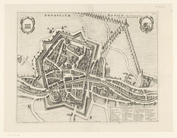
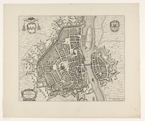
This is an anonymous map of Wageningen. The visual impact of this map comes from its precise linework and structured layout. Imagine the city as an organized space, contained within fortress-like walls. The form is angular, with streets laid out geometrically inside the pentagonal structure. We see symbolic elements, such as coats of arms, and keys to locations. The map is an example of structuralist thought. It is built of individual signs and codes that represent real-world places and features, and it creates a framework for understanding urban space. This plan isn't just a geographical tool but a coded system of spatial organization and power relations. The fortress walls, for instance, show power and defense, while the orderly layout shows a desire for control. This map, with its clear structure and coded information, demonstrates how visual representations can communicate complex cultural and political ideas. Meaning is constantly being negotiated and re-evaluated, rather than being fixed.
Comments
No comments
Be the first to comment and join the conversation on the ultimate creative platform.
More like this