print, etching
#
dutch-golden-age
# print
#
etching
#
landscape
#
etching
#
geometric
#
cityscape
Dimensions: height 252 mm, width 346 mm
Copyright: Rijks Museum: Open Domain
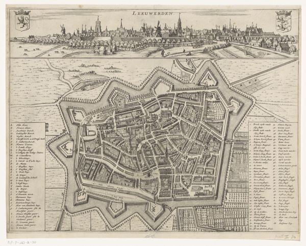
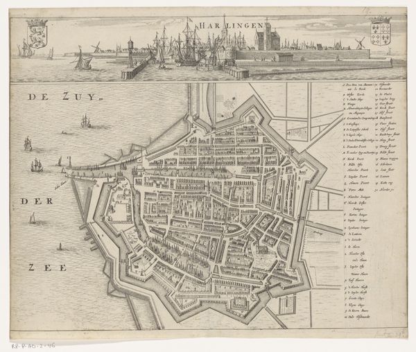
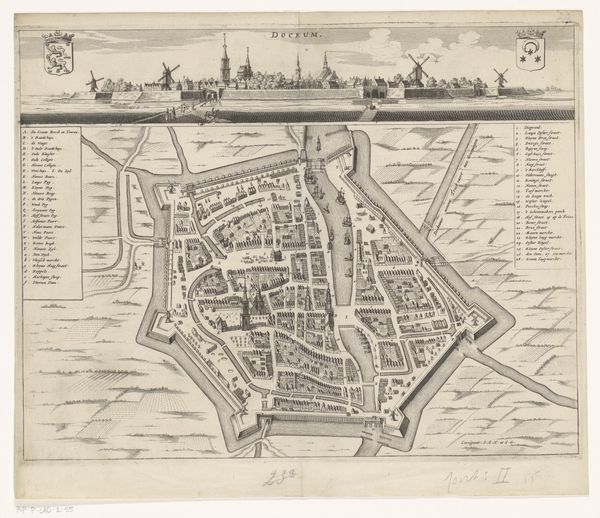
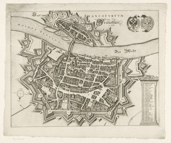
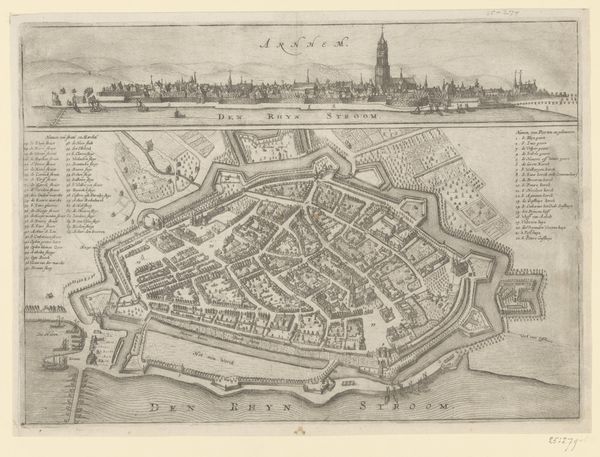
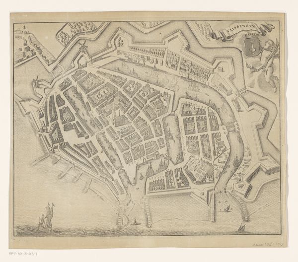
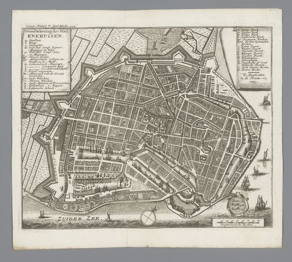
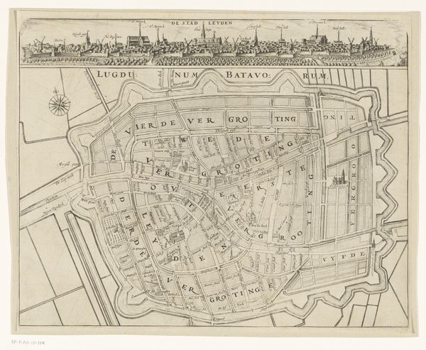
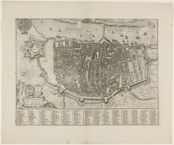
Nicolaes van Geelkercken's 'Plattegrond van Roermond' presents a bird's-eye view of the city, meticulously rendered with fine lines that create a complex network of urban space. The engraving on paper constructs Roermond through a structured composition, dividing it into discrete yet interconnected segments. The rigorous geometric forms of the city's layout are striking. The walled fortifications, rendered with sharp angles, contrast with the organic flow of the river. Buildings are uniformly depicted, hinting at the underlying order of urban planning. This map operates as a semiotic system. Each line and shape functions as a sign, collectively communicating power and control. The map is not just a representation of space but an assertion of dominion, an attempt to tame and codify the messy reality of human habitation. Consider how the artist has arranged the visual elements. The linear precision, while informative, also suggests a desire to impose structure on the world. The map invites us to consider how we perceive, organize, and ultimately control our environment through symbolic representation.
Comments
No comments
Be the first to comment and join the conversation on the ultimate creative platform.
More like this