painting, watercolor
#
painting
#
landscape
#
watercolor
#
geometric
#
watercolour illustration
#
decorative-art
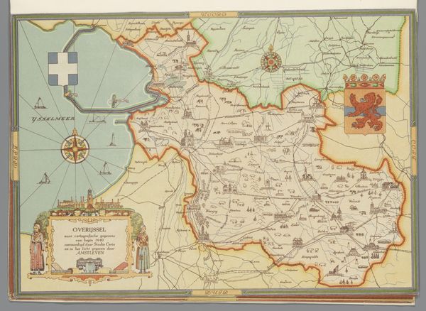
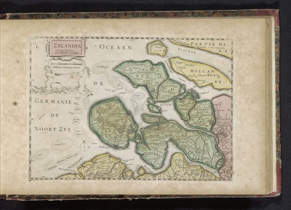
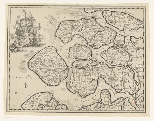
Dimensions: height 205 mm, width 294 mm
Copyright: Rijks Museum: Open Domain
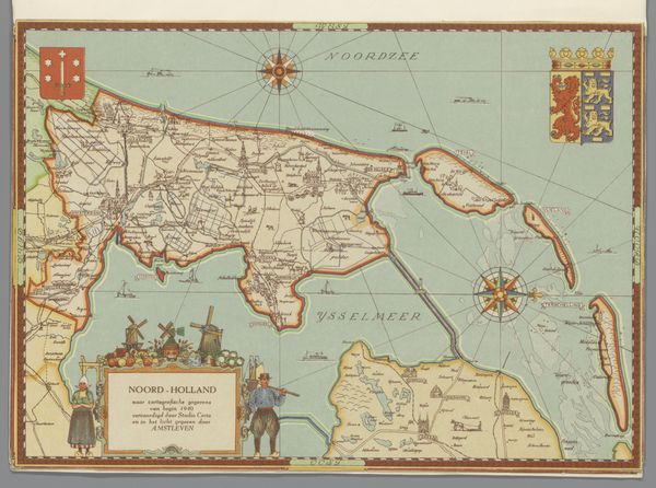
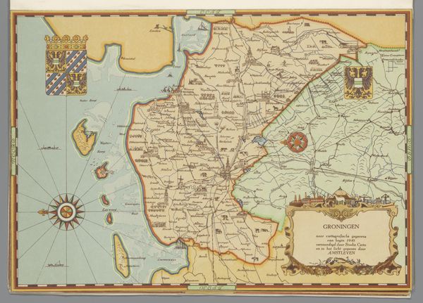
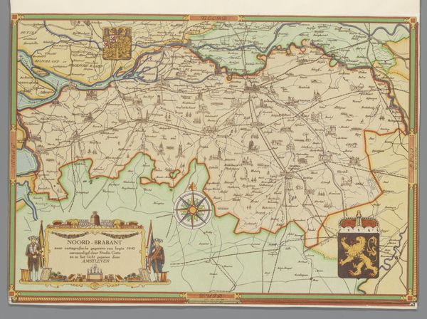
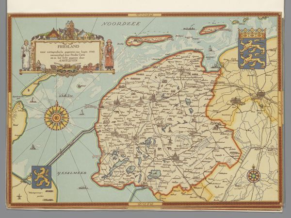
This map of Zeeland was made in 1940 by Studio Certo using cartographic techniques. It’s not exactly a painting but still, it’s all about the surface, isn't it? The matte finish and soft color palette reminds me of the chalky surfaces I aim for in my own paintings. Look at how the land is delineated, a simple outline in brown, defining the edges of these landmasses against the pale blue of the water. The texture is smooth, almost like a watercolor wash, which gives it a calm, meditative quality. It’s as if the landscape itself is breathing quietly under a layer of translucent pigment. I love the little details, like the tiny buildings and roads sketched in. The way the mapmakers render space and place here reminds me of Agnes Martin, in the sense that both create works that are defined by nuance, and that find unexpected harmony in the delicate balance between line and form. It shows how art is a language, an ongoing conversation across time and place.
Comments
No comments
Be the first to comment and join the conversation on the ultimate creative platform.
More like this