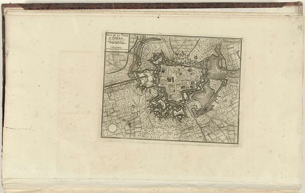
print, engraving
#
baroque
# print
#
cityscape
#
engraving
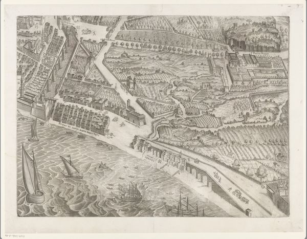
Dimensions: height 619 mm, width 862 mm
Copyright: Rijks Museum: Open Domain
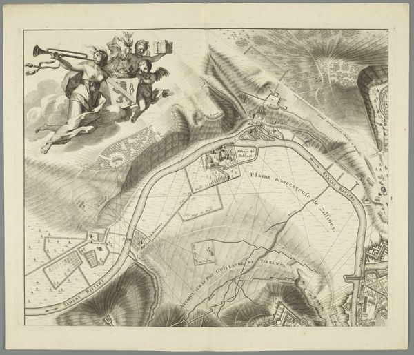
Martin Marvie made this plan of Saint-Cloud, likely around the mid-18th century, using engraving techniques. This detailed map invites us to consider the relationship between power, space, and representation in the age of Enlightenment. Saint-Cloud, as depicted here, becomes more than just a geographical location; it is a stage upon which the drama of class and social hierarchy unfolds. The manicured gardens and grand estates speak volumes about the wealth and privilege concentrated in the hands of a few, while the presence of cultivated lands highlights the labor and resources extracted from the working class. The map’s precision and order reflect the Enlightenment’s emphasis on reason and control. Yet, beneath this veneer of rationality lies a complex web of social relations, power dynamics, and human experiences. Consider how space is organized to reinforce social stratification and gender roles, dictating who has access to what, and shaping the lives of those who inhabit it. This map serves as a potent reminder of the ways in which visual representations can both reflect and shape societal structures. It prompts us to reflect on the lived experiences of those whose stories may be missing from the map, but whose presence is nonetheless woven into its very fabric.
Comments
No comments
Be the first to comment and join the conversation on the ultimate creative platform.
More like this