print, engraving
#
dutch-golden-age
# print
#
landscape
#
engraving
#
regionalism
Dimensions: height 367 mm, width 490 mm
Copyright: Rijks Museum: Open Domain
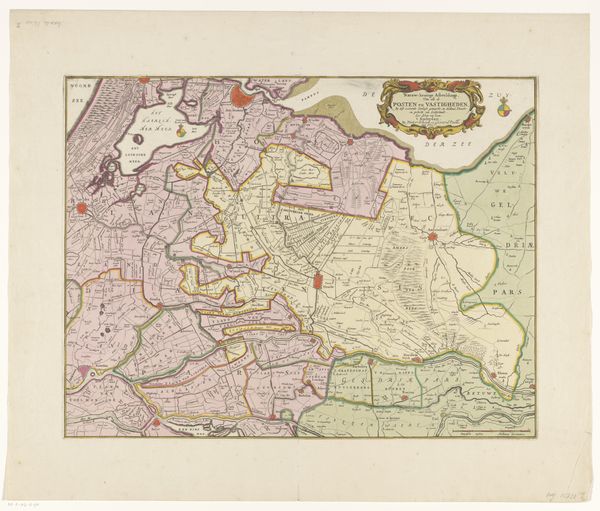
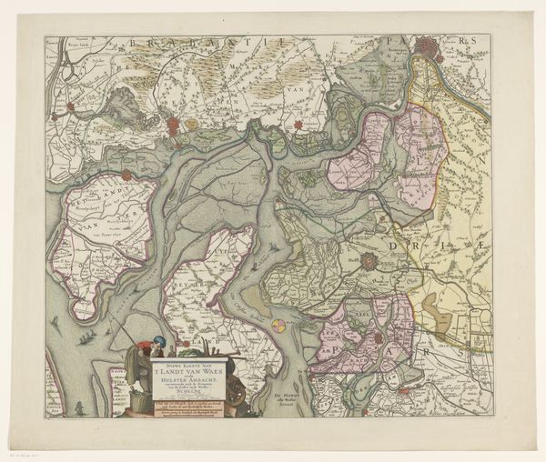
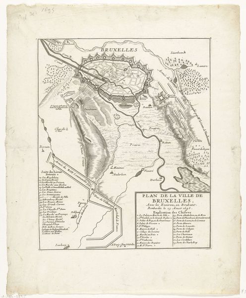
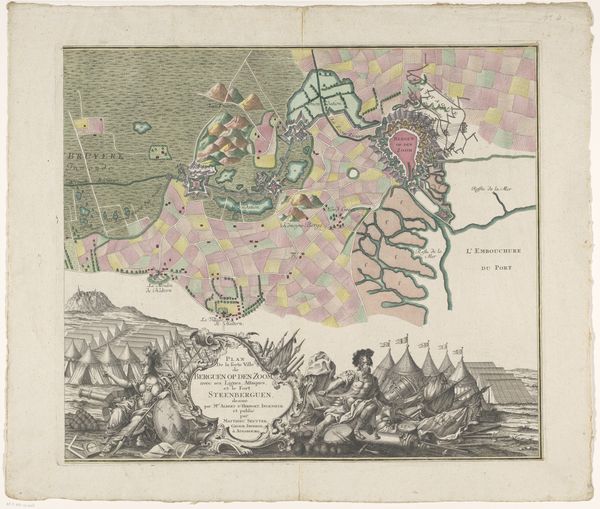
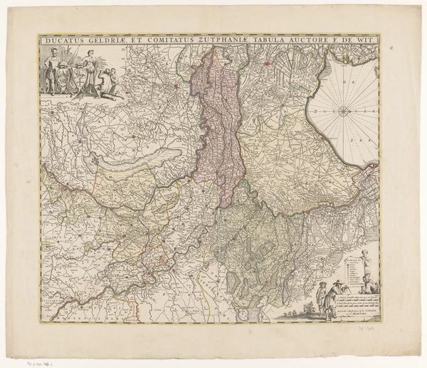
This is a 1627 map titled 'Forten aan de Ooster- en Westerschelde' which translates to 'Forts on the Eastern and Western Scheldt', made by an anonymous artist. It depicts the waterways and fortifications in the Scheldt estuary, a region of great strategic importance during the Eighty Years' War between the Dutch Republic and Spain. This map encapsulates the complex dynamics of power, identity, and geographical space. During this era, cartography was not merely a scientific endeavor; it was an assertion of control and a representation of national identity. The detailed depiction of forts emphasizes military strategy, while the careful rendering of the landscape reflects a deep connection to the land and its resources. The map reveals a society grappling with issues of sovereignty, defense, and economic survival amid conflict. Consider how this image would have been perceived by different audiences – Dutch merchants, Spanish military leaders, or local inhabitants. How does the map reinforce or challenge existing power structures, and what does it tell us about the relationship between those who create maps and those who inhabit the mapped territories? The emotional weight of this piece resides in the tension between the desire for stability and the ever-present threat of war, inviting us to reflect on the human cost of geopolitical struggles.
Comments
No comments
Be the first to comment and join the conversation on the ultimate creative platform.
More like this