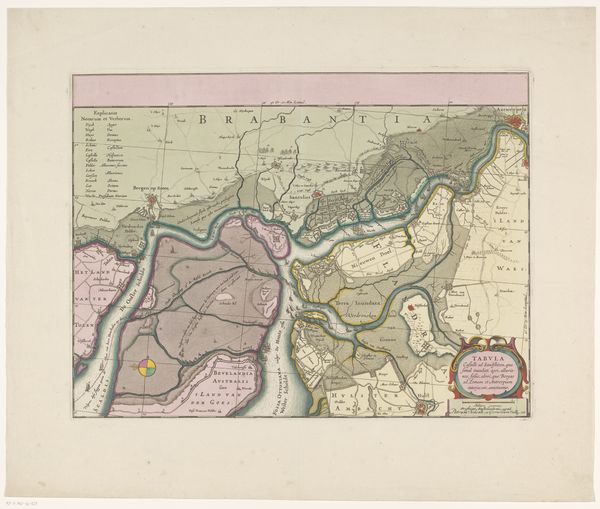
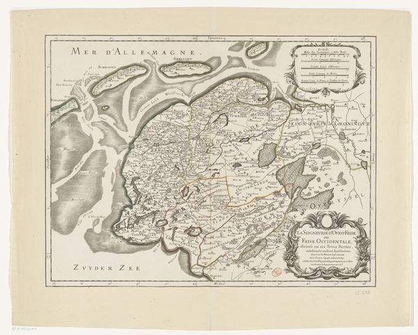
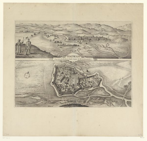
print, engraving
#
weapon
#
baroque
# print
#
cityscape
#
history-painting
#
engraving
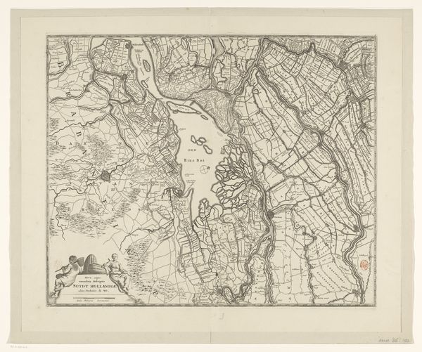
Dimensions: height 488 mm, width 563 mm
Copyright: Rijks Museum: Open Domain
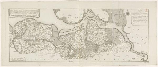
Editor: This is a section of “Kaart van het Beleg van Bergen op Zoom, 1747” by Monogrammist IFL, an engraving print dating back to around 1750. Looking at this snippet, I'm struck by the detail in the landscape, especially considering its historical context. What are your initial thoughts when you observe a piece like this? Curator: My imagination leaps to a bird soaring above the scene, gazing upon not just the terrain but also the invisible dramas unfolding below. Notice the vibrant, almost whimsical colours contrasted against the militaristic precision of the map itself. Doesn’t it strike you as an attempt to make palatable something rather grim? I think there is a surreal charm within these kinds of old maps. What are your feelings? Editor: I see your point. It's interesting how the formal, almost scientific rendering of the map coexists with a definite artistic sensibility. How does understanding the historical context of the siege influence our viewing of this particular portion? Curator: Knowing the context transforms this from a decorative map into a document of a devastating conflict. Each pastel field potentially represents a farmer’s livelihood, each redoubt a site of intense fighting. It becomes a potent meditation on the intersection of power, geography, and the human cost of war, don’t you agree? Editor: Definitely. Before, I just saw an old map with pretty colours. Now, thinking about it as a frozen moment of conflict… it's much more powerful. Thanks for opening my eyes! Curator: Art has a habit of doing just that, my friend. Seeing beneath the surface is always the key.
Comments
No comments
Be the first to comment and join the conversation on the ultimate creative platform.
More like this