c. 1667 - 1774
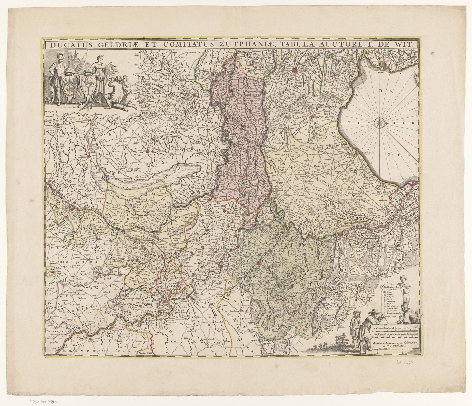
Kaart van Gelderland
Listen to curator's interpretation
Curatorial notes
This is a map of Gelderland by Abraham Jansz. Deur, made around the late 17th century, using etching and engraving. The overall effect is one of meticulous detail and symbolic representation. Notice the intricate network of lines defining the geographical boundaries, creating a complex, almost organic structure across the surface. The formal structure of the map reflects a fascinating interplay between empirical observation and symbolic order. The lines and shapes aren't merely descriptive; they're also signifiers within a semiotic system, encoding geographical, political, and cultural information. Consider how the map challenges our understanding of space and representation. It is not a neutral depiction of the territory, but a carefully constructed image that reflects specific values and beliefs. It serves as a reminder that all forms of representation, including cartography, are imbued with cultural codes and power relations. Therefore, the map functions as an aesthetic object, but also as a window into the historical and intellectual context of its creation.