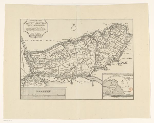
mixed-media, print, engraving
#
mixed-media
# print
#
old engraving style
#
landscape
#
geometric
#
engraving
#
realism
Dimensions: height 545 mm, width 730 mm
Copyright: Rijks Museum: Open Domain
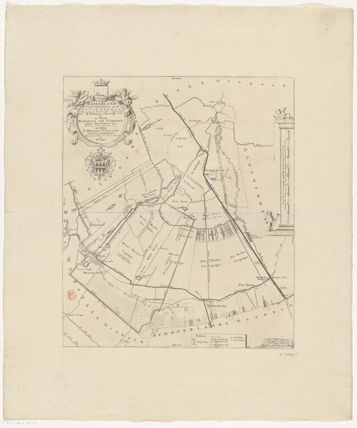
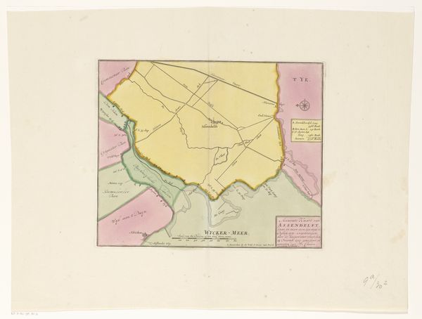
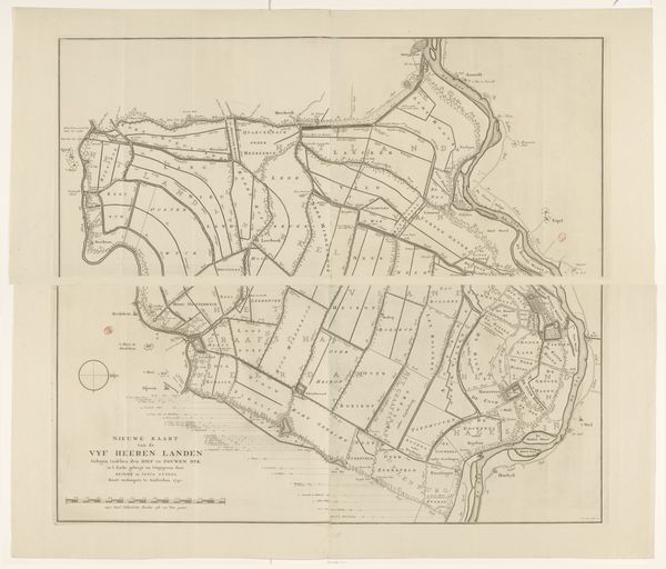
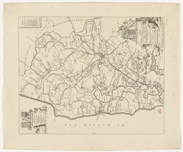
This map of the Haarlemmer Meer Polder was created by an anonymous artist. It’s printed on paper, a relatively inexpensive and widely available material at the time of its making. The printmaking process itself is key here. Images like these would have been reproduced in multiples, allowing for wide distribution of information. Note the precision of the lines and text; this speaks to a culture of engineering, where accuracy and standardization were highly valued. This wasn't just art for art's sake, but a tool for planning, development and, ultimately, control over the landscape. Consider, too, the labor involved in draining a polder – the back-breaking work of digging canals, building dikes, and operating pumps. This map, in its own way, is a document of that effort, a testament to the human desire to reshape the world around us. So, while it may seem like just a utilitarian object, this map is also a reminder of the social and economic forces that shape our environment. It challenges us to think about the relationship between art, labor, and the built world.
Comments
No comments
Be the first to comment and join the conversation on the ultimate creative platform.
More like this