print, engraving
#
aged paper
#
toned paper
#
dutch-golden-age
# print
#
old engraving style
#
landscape
#
tea stained
#
natural palette
#
engraving
#
watercolor
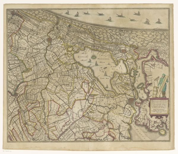
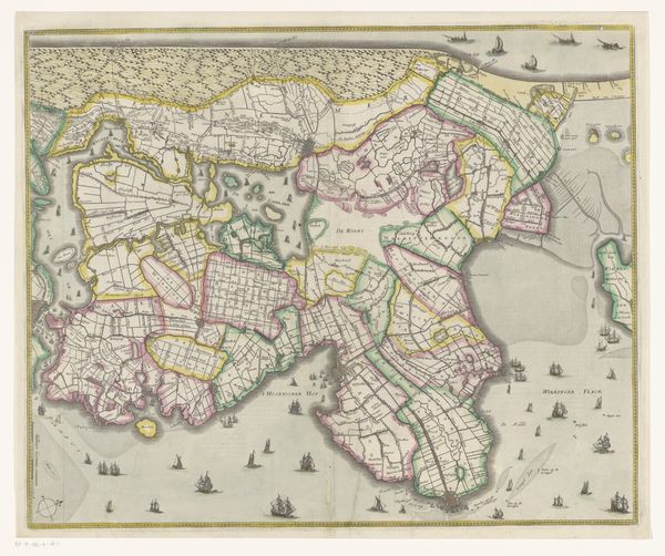
Dimensions: height 450 mm, width 547 mm
Copyright: Rijks Museum: Open Domain
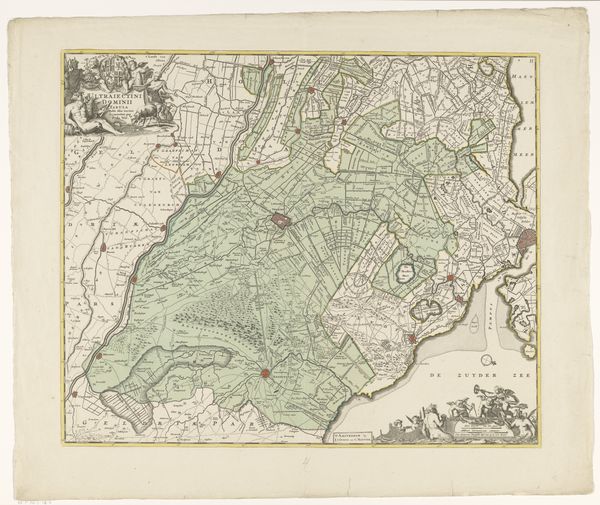
This is an anonymous map of Rijnland and Amstelland, which presents a structured view of the landscape through a network of lines and shapes. The map meticulously divides space into parcels and waterways. Lines are used to delineate fields, roads, and waterways, giving the landscape a fragmented appearance. The composition is a study in how cartography transforms lived space into an abstract visual system. The structure of the map emphasizes control, turning nature into an ordered, measurable entity. The semiotic meaning of the map lies in its coded representation of territory. Each line, color, and symbol functions as a signifier, communicating spatial relationships and land use. The map not only reflects geographical reality, but also constructs it, influencing how viewers perceive and interact with the land. The overall effect is one of spatial compartmentalization, revealing the underlying conceptual frameworks through which we perceive and organize the world around us.
Comments
No comments
Be the first to comment and join the conversation on the ultimate creative platform.
More like this