aged paper
toned paper
old engraving style
personal sketchbook
pen-ink sketch
ink colored
pen work
sketchbook drawing
watercolour illustration
sketchbook art
Dimensions: height 440 mm, width 586 mm
Copyright: Rijks Museum: Open Domain
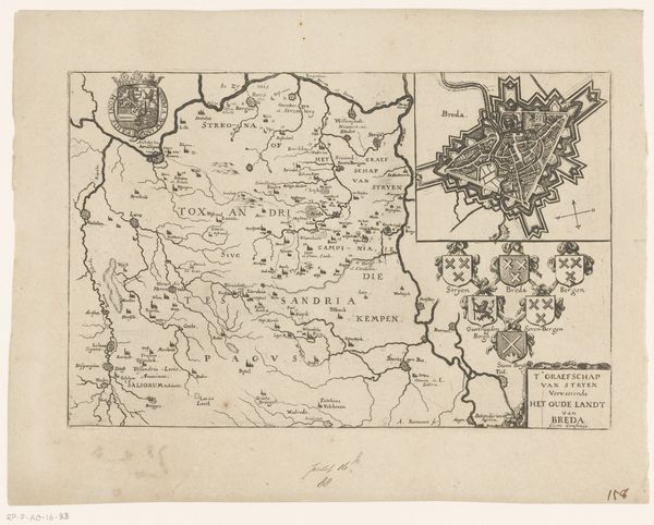
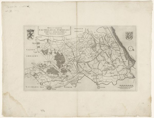
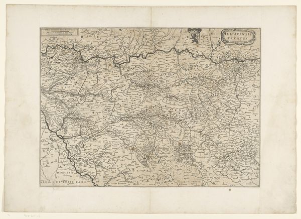
Here we see an anonymous rendering of the province of Utrecht. Maps like these chart more than geographical landscapes. They are cultural artifacts, reflecting the social, economic, and political relationships of their time. Utrecht, positioned centrally, has historically been a melting pot of identities and a strategic nexus for power. Cartography was essential for governance, military campaigns, and trade, mapping not just terrain but also ownership and influence. Consider what remains invisible on this map. Who decided what was important enough to be included, and who was excluded? The experiences and perspectives of marginalized communities – women, laborers, and religious minorities – were often erased from official records and representations. Maps create a sense of order and control, yet the lived experience of a place is always more complex and layered. This map invites us to consider the power dynamics inherent in representation and the stories that official narratives often overlook.
Comments
No comments
Be the first to comment and join the conversation on the ultimate creative platform.