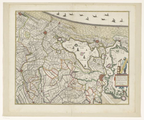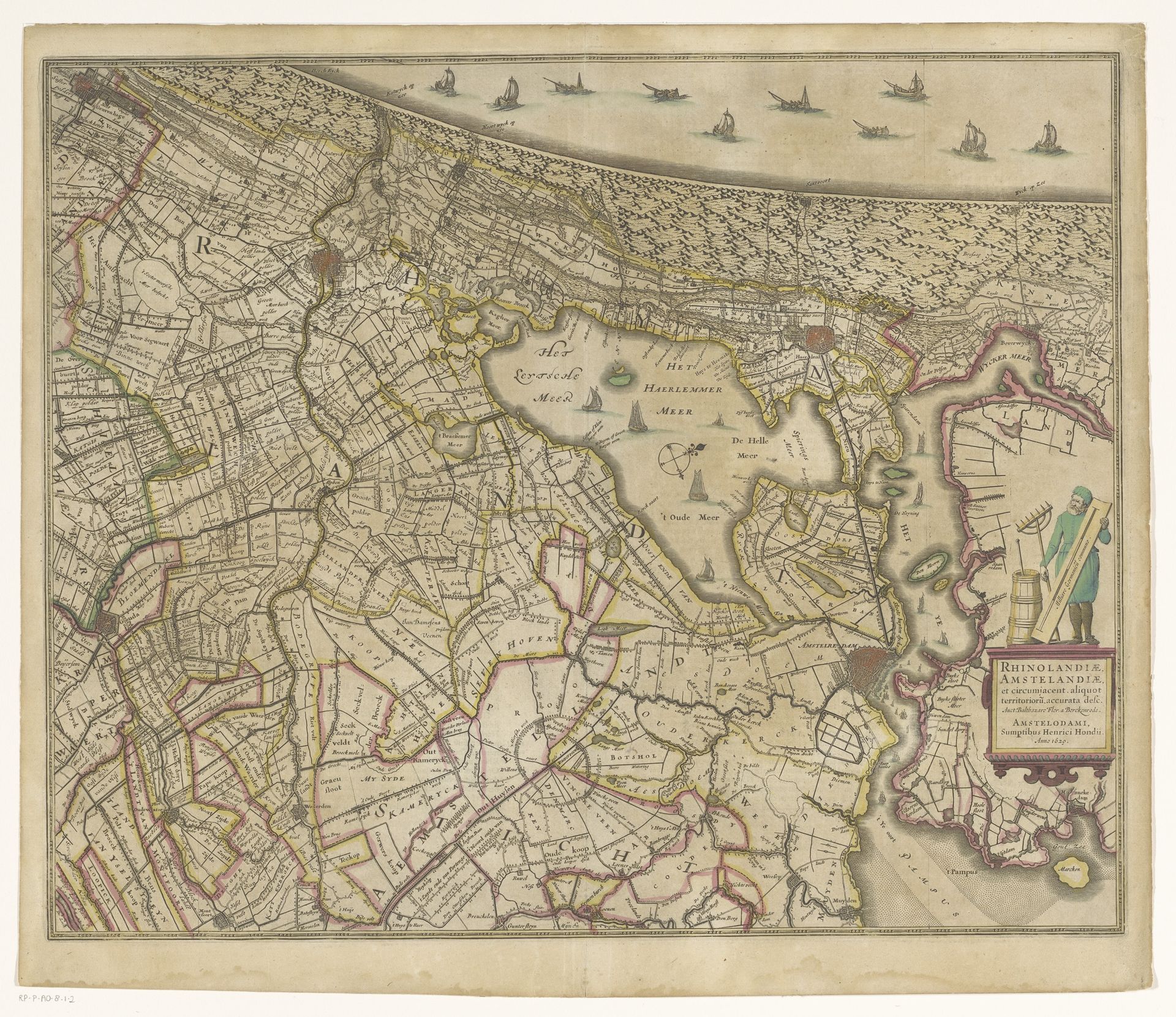
1638
Kaart van Rijnland en Amstelland
Anonymous
@anonymousLocation
RijksmuseumListen to curator's interpretation
Curatorial notes
This is an anonymous map of Rijnland and Amstelland. The boats sailing along the upper edge of the map and the figure with tools in the lower right, are both images heavy with symbolic meaning. Consider the boats. Ships have been a recurring motif, symbolizing journeys, trade, and the unpredictable nature of life. The boat motif echoes through the ages, from ancient Egyptian funerary boats carrying souls to the afterlife, to the ships of exploration, promising new worlds. The boats here, in this Dutch landscape, speak of a nation's reliance on the sea for its prosperity and defense. The figure with the tools represents labour, progress, and the dominion over nature. His presence resonates with images of figures taming the wilderness, a symbol of human ingenuity. These symbols are not static, and their meanings shift and evolve. What remains is the enduring human drive to explore, understand, and shape our world, engaging viewers on a deep, subconscious level.