print, engraving
# print
#
landscape
#
geometric
#
engraving
Dimensions: height 340 mm, width 444 mm
Copyright: Rijks Museum: Open Domain
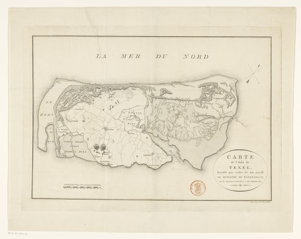
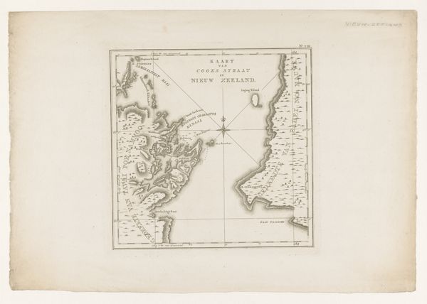
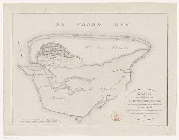
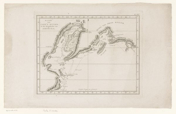
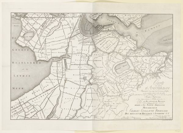
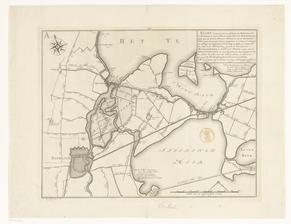
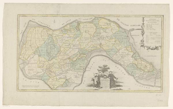
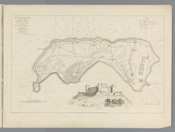
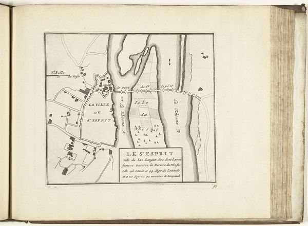
Editor: Here we have Daniël Veelwaard’s “Map of the Island of Rottumeroog,” an engraving from 1809. It strikes me as a very pragmatic piece; all lines and labels. How do you interpret this work, beyond its obvious function? Curator: I see it as deeply enmeshed with power. Mapping has historically been an act of claiming territory, a visual assertion of control. This map isn’t just a neutral depiction of land; it represents a specific gaze, a specific intention to possess and define space. Consider the Dutch context: mapping was crucial to colonial expansion and resource extraction. Editor: So, you're saying it's not just about accurately representing the island, but also about exerting authority over it? Curator: Exactly. Who commissioned this map? Who was meant to use it? Its function was likely tied to economic exploitation or military strategy, reflecting a desire to categorize and manage the landscape and the communities connected to it. Also note, cartography presumes the Western gaze from a higher elevation onto a people and land considered “below”. The assumption is control. Editor: That's fascinating. I hadn’t considered the implications of mapping as an act of dominance. Does knowing that change how we should view landscapes today? Curator: Absolutely. By understanding the history of cartography and its links to colonialism, we can become more critical viewers of contemporary representations of space. We can ask ourselves: Whose perspectives are being privileged? Whose are being erased? It’s about recognizing the inherent power dynamics within any depiction of the land. Editor: I'll definitely look at maps differently from now on! Thank you. Curator: My pleasure! It's vital that we analyze these depictions beyond their immediate impression and consider their historical baggage.
Comments
No comments
Be the first to comment and join the conversation on the ultimate creative platform.
More like this