graphic-art, print, engraving
#
graphic-art
# print
#
landscape
#
engraving
Dimensions: height 350 mm, width 490 mm
Copyright: Rijks Museum: Open Domain
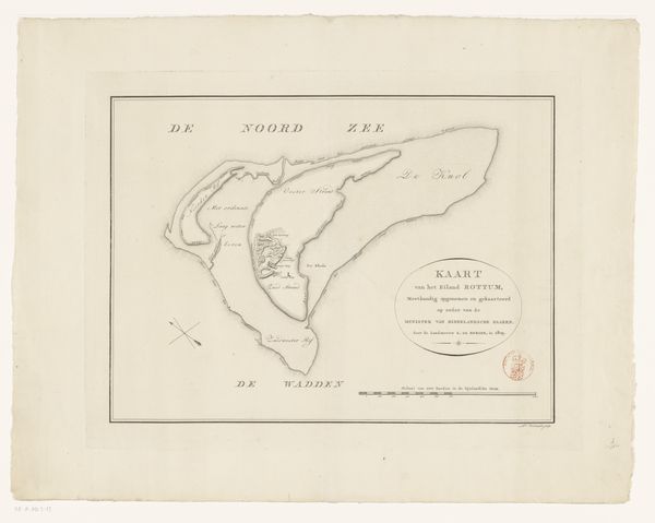
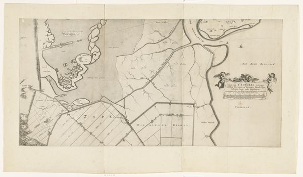
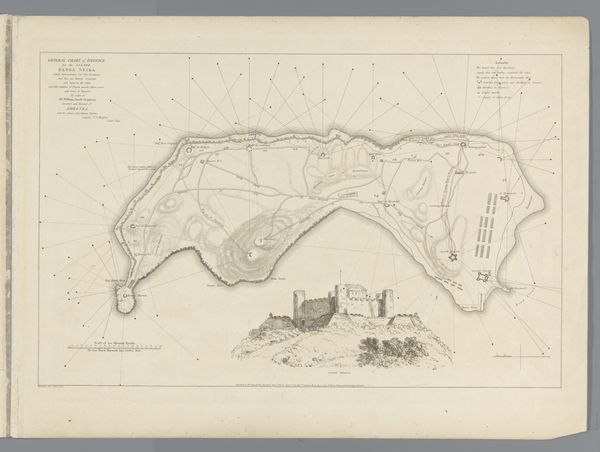
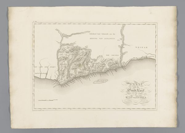
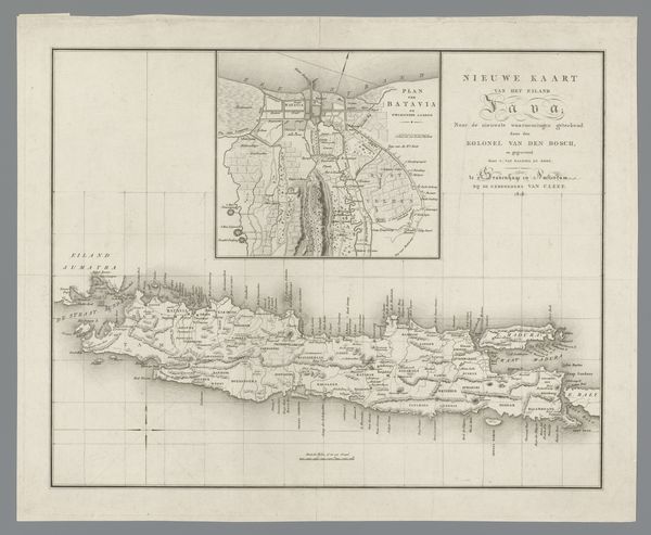
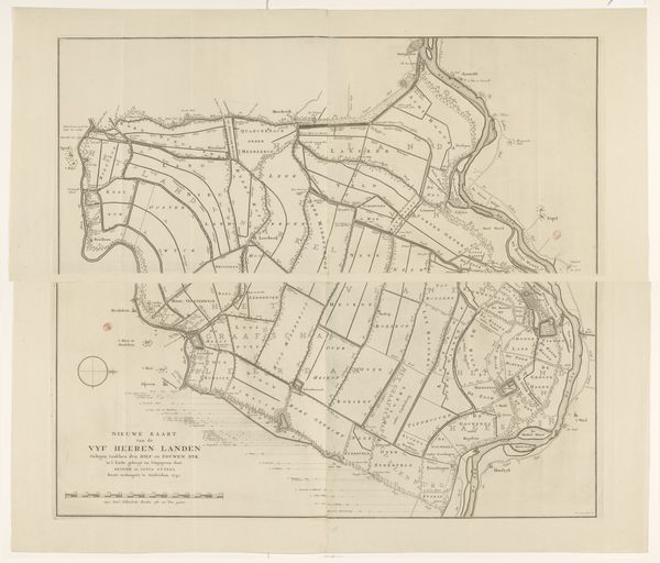
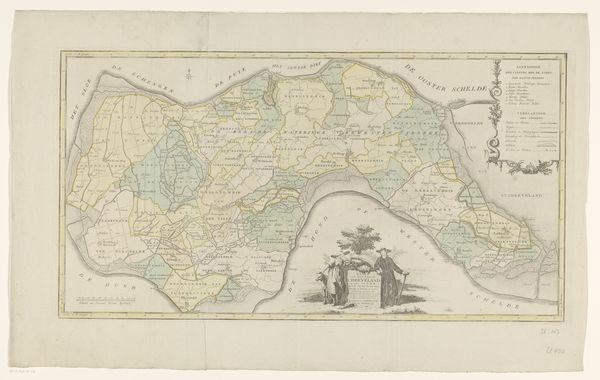
Daniël (I) Veelwaard created this map of the island of Texel. Mapping isn’t a neutral science, nor is it an objective practice. The cultural and historical context of map-making are complex. They reflect the values, knowledge, and power structures of the society that produces them. Here, the island of Texel is carefully rendered, as commissioned by the Ministry of Water Management. The map provides an emotional experience, allowing viewers to trace the landscape. What stories do the names evoke? Which communities do they represent, and which do they perhaps omit? How does this representation either challenge or reinforce traditional narratives of land ownership and use? Consider how the cartographer’s choices shape our understanding of the island. Whose perspectives are prioritized, and whose are marginalized? In this way, maps act as mirrors reflecting societal structures and our own place within them.
Comments
No comments
Be the first to comment and join the conversation on the ultimate creative platform.
More like this