graphic-art, print, paper, engraving
#
graphic-art
#
baroque
# print
#
paper
#
engraving
Dimensions: height 203 mm, width 267 mm
Copyright: Rijks Museum: Open Domain
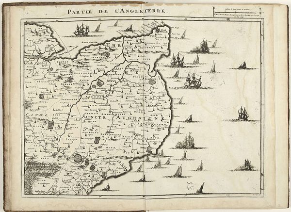
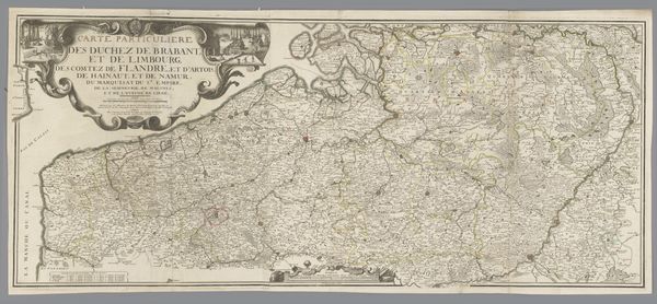
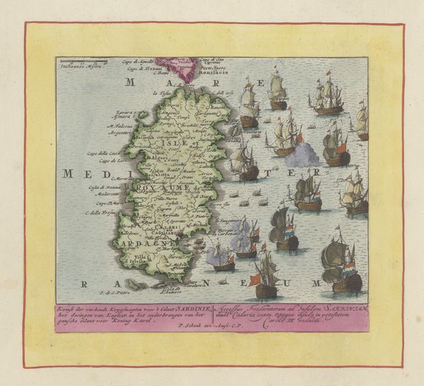
This is Tobias Conrad Lotter’s "Part of a Map of the Austrian Netherlands," made sometime between his birth in 1717 and his death in 1777. This map, with its decorative ships sailing on the margins, reflects an era of European exploration, colonialism, and trade. Maps were not just geographical tools, but symbols of power and control. They played a crucial role in shaping identities and territories, and they laid claim to lands already inhabited. Consider how maps like these can be read as assertions of dominance, contributing to the erasure of indigenous histories and cultures. What stories are left out when land is depicted as empty and ready for claiming? Think about the emotional impact, the weight of history embedded in lines drawn on a page, and the lived experiences of those whose worlds were being reshaped.
Comments
No comments
Be the first to comment and join the conversation on the ultimate creative platform.
More like this