1718 - 1726
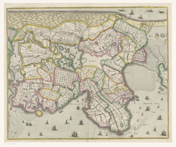
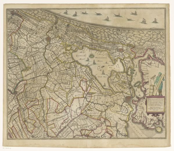
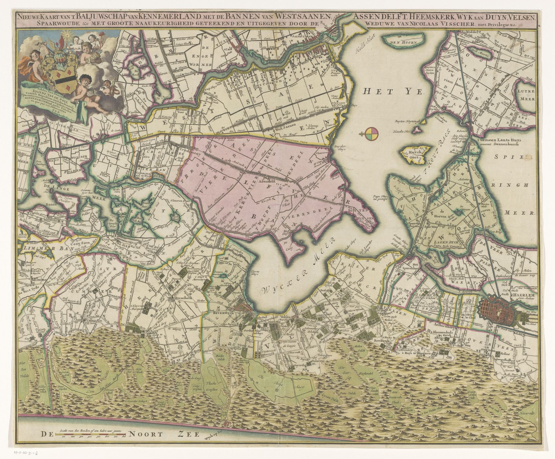
Kaart van het baljuwschap Kennemerland
Anonymous
@anonymousLocation
RijksmuseumListen to curator's interpretation
Curatorial notes
This map of Kennemerland, created by an anonymous artist, was printed by the widow of Nicolaas Visscher. Engraving, the primary method of its production, is a meticulous process. A design is incised into a metal plate, and ink is then applied to the grooves. This process, demanding a high degree of skill, ensured the precise transfer of information. The application of color, probably by hand, would have added another layer of labor to the production. Maps like this one weren't just geographic tools. They embodied power, knowledge, and control. The level of detail shown – from the layout of land to administrative divisions – reflects a drive to catalogue and manage territory, a very modern attitude. The production of maps like this can be seen as a precursor to today's information economy. So next time you use Google Maps, consider the long history of labor, craft, and power that lies behind it.