print, etching
# print
#
etching
#
landscape
#
etching
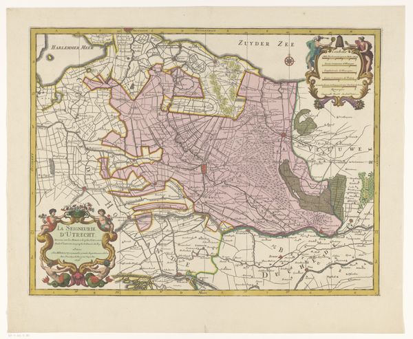
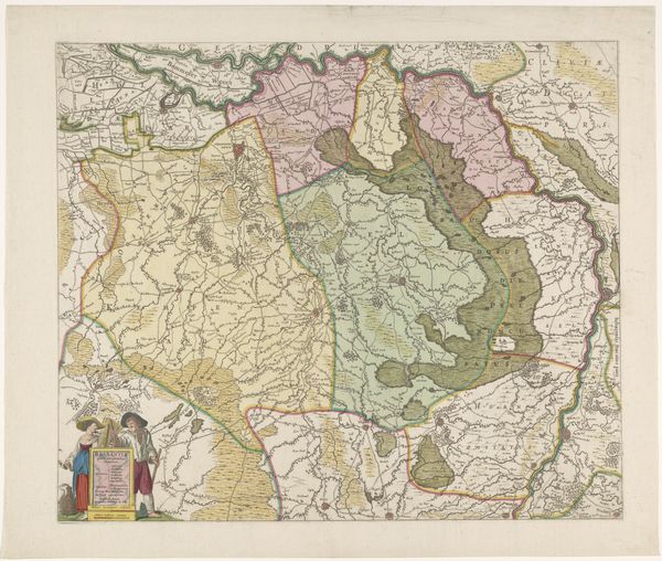
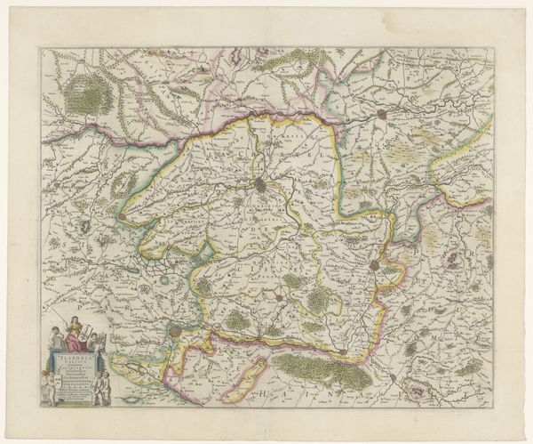
Dimensions: height 480 mm, width 860 mm
Copyright: Rijks Museum: Open Domain
Luggert van Anse’s map provides an early modern depiction of the province of Utrecht and the Veluwe, its lines etched with meticulous precision. The overall impression is one of structured clarity, with the composition neatly divided between cultivated landscapes and natural terrains, inviting a visual comparison between these contrasting spaces. Consider how the graphic language of cartography becomes a form of visual encoding. The lines are not just borders; they delineate territories and hierarchies. Look at how the map uses a semiotic system, employing symbols to represent urban and rural spaces. The ordering of space reflects an attempt to control and codify the land and transform it into a readable and manageable entity. Notice the intricate layering of information, with each line contributing to the map's function as both an aesthetic object and an informational tool. This layering invites a reflection on how we construct and interpret representations of the world around us.
Comments
No comments
Be the first to comment and join the conversation on the ultimate creative platform.
More like this