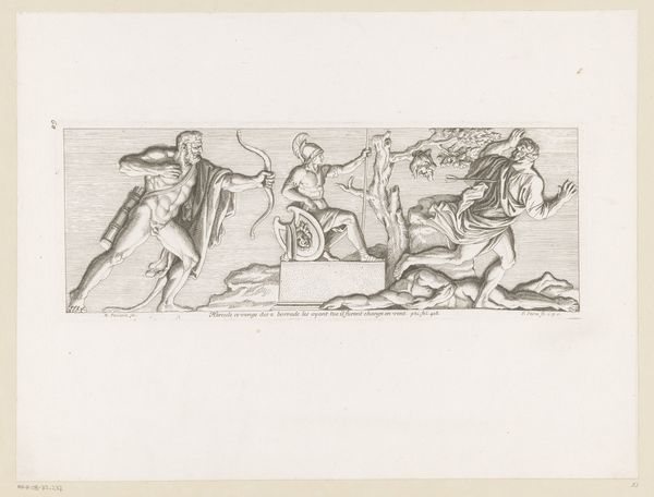
drawing, print, engraving
#
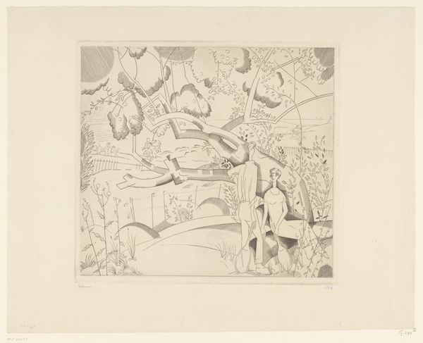
drawing
#
dutch-golden-age
# print
#
old engraving style
#
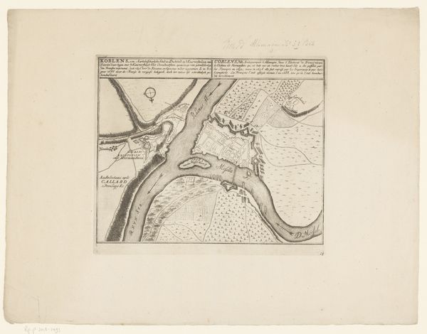
landscape
#
geometric
#
pen-ink sketch
#
line
#
islamic-art
#
engraving
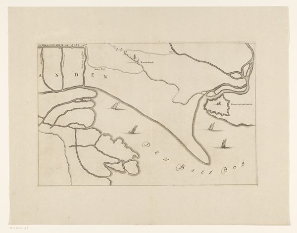
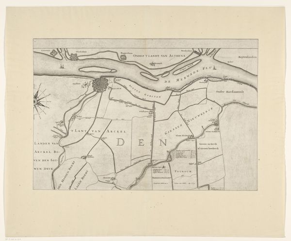
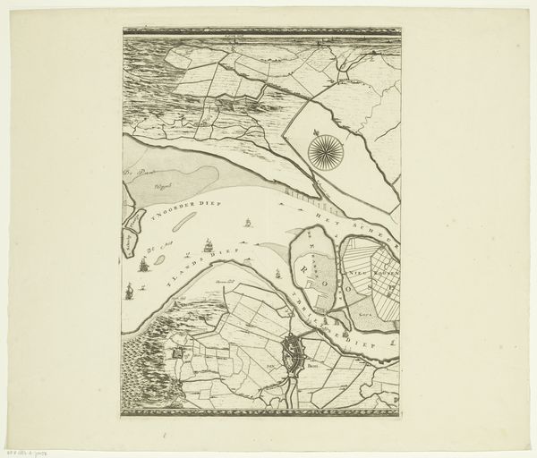
Dimensions: height 364 mm, width 537 mm
Copyright: Rijks Museum: Open Domain
Jan van Vianen made this section of a map of the Overwaard, likely in the late 17th or early 18th century, using engraving. This map is not just a geographical tool but a window into the social and economic landscape of the Dutch Republic. Maps like this one played a crucial role in the governance and administration of the Dutch Republic, particularly in managing water resources. The detailed rendering of waterways, polders, and settlements reflects the Dutch mastery of hydraulic engineering, vital for agriculture and trade. Consider how the careful demarcation of land ownership and usage underscores the Republic's sophisticated legal and administrative systems. These maps reinforced social hierarchies and property rights, reflecting the power structures of the time. To fully appreciate this map, one might consult archival records, such as land deeds and administrative documents. These sources provide insights into the complex social relations that shaped the Dutch landscape and the institutional frameworks within which artists like van Vianen operated.
Comments
No comments
Be the first to comment and join the conversation on the ultimate creative platform.
More like this