1696 - 1697
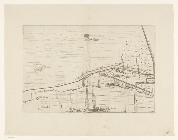
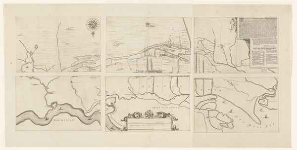
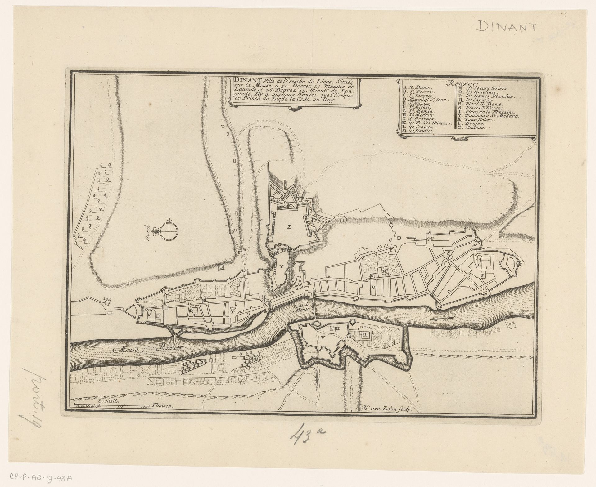
Vestingplattegrond van Dinant
Listen to curator's interpretation
Curatorial notes
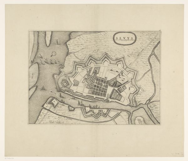
Harmanus van Loon meticulously etched this map of Dinant, a testament to the era's cartographic artistry. The compass rose, a prominent symbol, orients us not merely geographically, but also historically and culturally, invoking the age of exploration and discovery. Consider the symbolic weight of city maps throughout time. They are more than mere guides; they represent control, power, and a desire to tame the landscape. The city walls depicted here evoke a sense of security, but they also speak of division and conflict. This inherent duality, seen in ancient city plans and modern urban designs, reflects humanity's enduring struggle between order and chaos. Reflect on the collective memory embedded within this map. The names of streets and landmarks, though specific to Dinant, resonate with universal themes of community, trade, and defense. Just as ancient Roman maps informed imperial ambition, this map carries echoes of past conflicts and future aspirations. It speaks to our ongoing quest to map, understand, and ultimately, control our world.