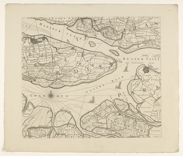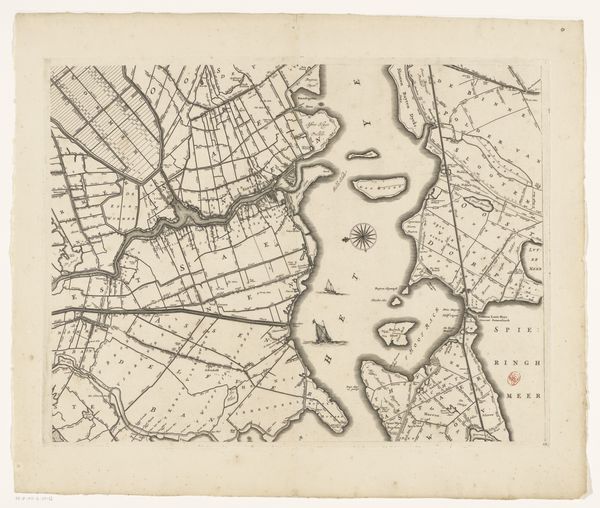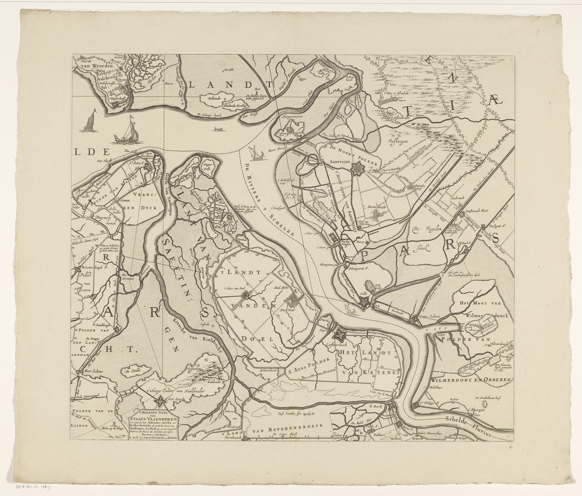
1655 - 1725
Kaart van Zeeland (negende deel)
Anonymous
@anonymousLocation
RijksmuseumListen to curator's interpretation
Curatorial notes
Curator: Here we have "Kaart van Zeeland (negende deel)," dating from 1655 to 1725. It's an intriguing composite, incorporating drawing, engraving, and printmaking with both ink and pen on the surface. It's part of the Rijksmuseum collection. Editor: My first thought is how incredibly detailed and meticulous this rendering of Zeeland is! There's almost a hypnotic quality in following all the waterways. A beautiful meditation in monochrome. Curator: Indeed, the precision allows us to see how waterways shaped settlement and industry in Zeeland. This particular cartographic representation becomes significant when contextualized within the Dutch Republic's Golden Age. Maritime dominance and trade were fundamentally connected to territorial knowledge. These maps aren't just passive representations; they are active participants in constructing power. Editor: It feels both artistic and scientific. I'm just imagining someone carefully charting this region, spending so much time becoming intimately familiar with its nuances and imperfections. It makes me want to grab a boat and just wander. Curator: Considering its probable use, we see it's interwoven with military strategy, colonial expansion, and burgeoning capitalism. So, what stories aren't being visibly told? Whose perspectives are being erased in this claim to objective knowledge? Editor: Hmmm. The blank spaces, the absence of any people represented, become all the more apparent now that you mention it. All the unseen labour that supported the cartographer and built the province! But you know, as a visual object I still find it soothing, and incredibly hopeful! Curator: Absolutely, that's why the critical dialogues around it are crucial. As a representation of control over land and sea, it raises important questions about how power and place intersect to shape identity and history, and highlights the colonial undertones present in geographic representations. Editor: It really encapsulates how looking at one thing—even something seemingly neutral—can reveal countless complex layers if you keep pulling at the threads. Curator: Precisely. It's a portal that requires continual re-evaluation of its implications.