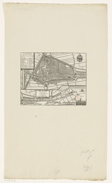
before 1748
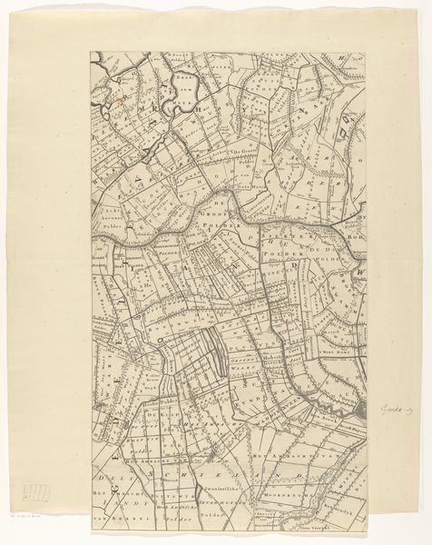
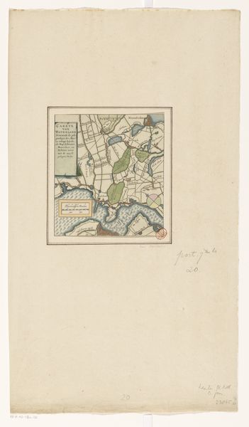
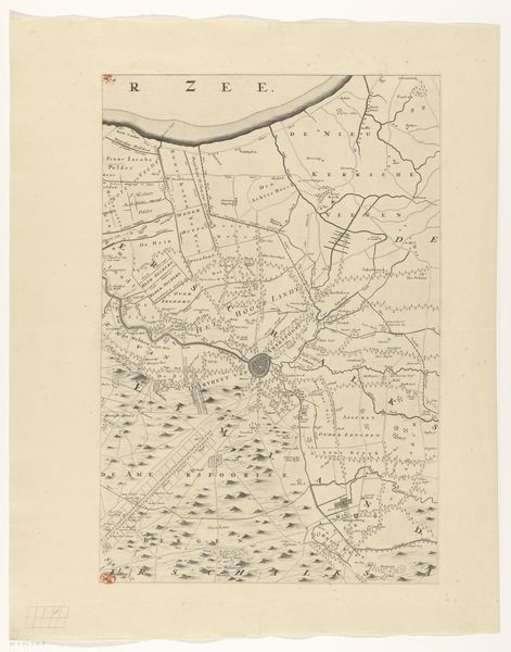
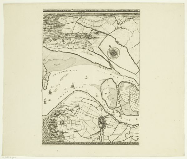
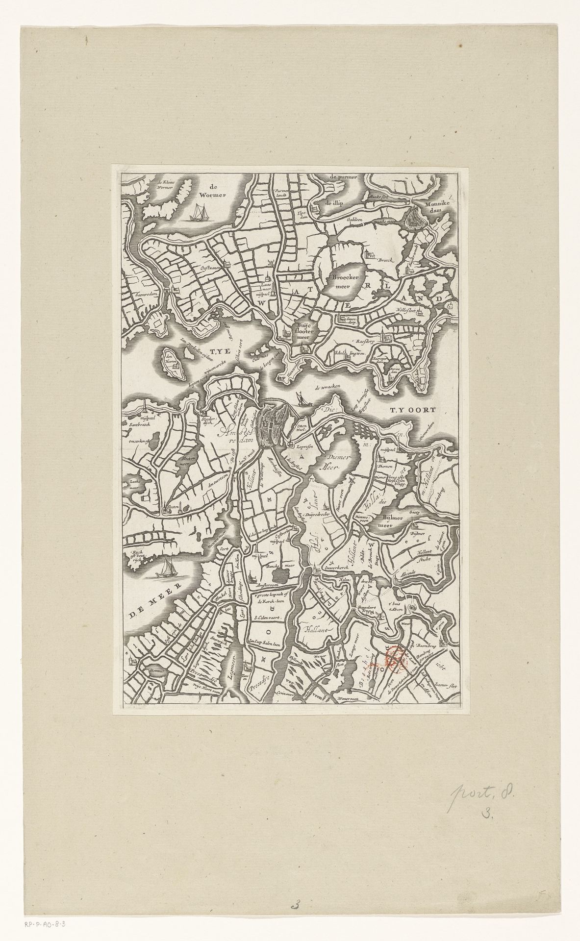
Kaart van het gebied rond Amsterdam
Listen to curator's interpretation
Curatorial notes
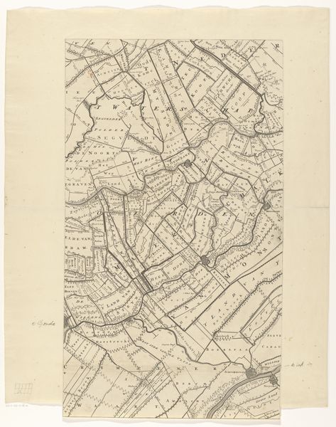
This is an anonymous map of the area around Amsterdam. It presents a fascinating interplay of lines and shapes, meticulously arranged to convey geographical information. The texture is defined by a network of fine, etched lines that form a dense, structured composition. The map’s structure reveals an attempt to impose order on the natural landscape through geometric precision. The lines delineate land plots and waterways, transforming the organic contours of the region into a grid-like pattern. The varying thickness and density of these lines create a visual hierarchy, guiding the eye to different focal points and areas of interest. Yet, this formal precision belies the inherent fluidity and changeability of the environment. The map can be read as a semiotic system, where lines and symbols represent tangible features of the landscape. But it also raises questions about the nature of representation itself and how maps inherently simplify and abstract the complexities of the real world. The formal qualities of this map – its structured lines and deliberate composition – serve as a testament to the human desire to understand and control the natural environment through visual means.