drawing, print, ink, engraving
#
drawing
#
baroque
#
pen drawing
# print
#
pen sketch
#
ink
#
geometric
#
cityscape
#
history-painting
#
engraving
Dimensions: height 389 mm, width 499 mm
Copyright: Rijks Museum: Open Domain
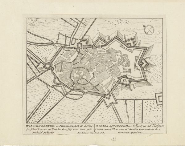
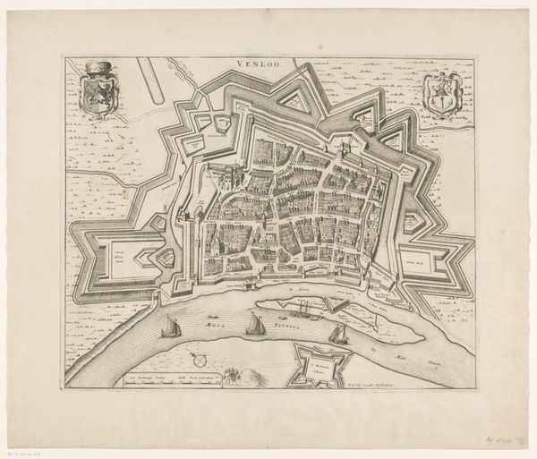
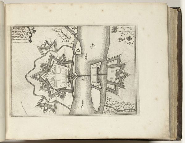
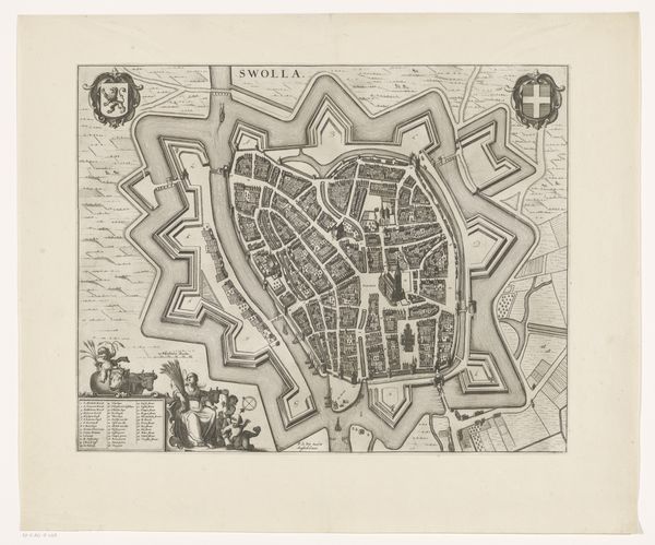
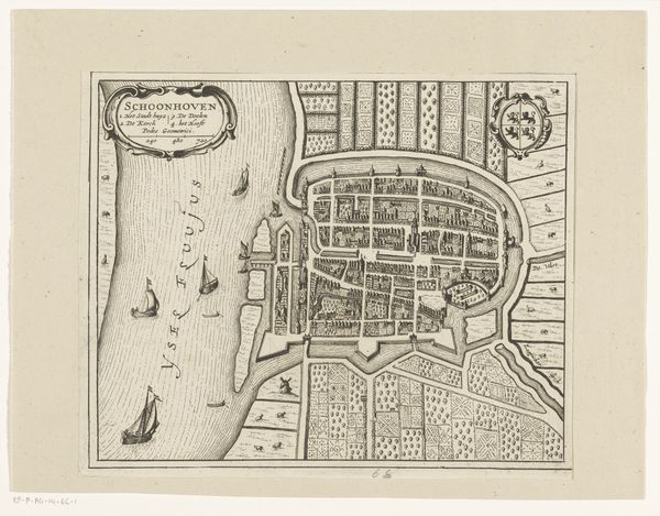
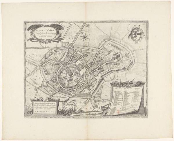
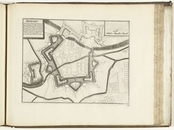
This print depicts a bird’s eye view of Oudenaarde, a Flemish town east of Brussels. It was made by an anonymous artist, most likely to be used as a military document. The map is an engraving, meaning the image was incised into a metal plate with a tool called a burin, then inked and pressed onto paper. The clarity of line suggests a highly skilled hand, working carefully to capture the town’s fortifications, waterways, and layout. Maps like this were crucial for military strategy and urban planning. The production of these maps was closely tied to political power and the control of territory. This particular map shows a fortified city, reflecting the turbulent times in which it was made. The amount of labor involved in creating such a detailed image speaks to the importance placed on accurate information and the projection of power through cartography. Thinking about this map as a made thing, we can see it not just as a representation of a place, but also as a reflection of the social, political, and economic forces at play in its creation.
Comments
No comments
Be the first to comment and join the conversation on the ultimate creative platform.
More like this