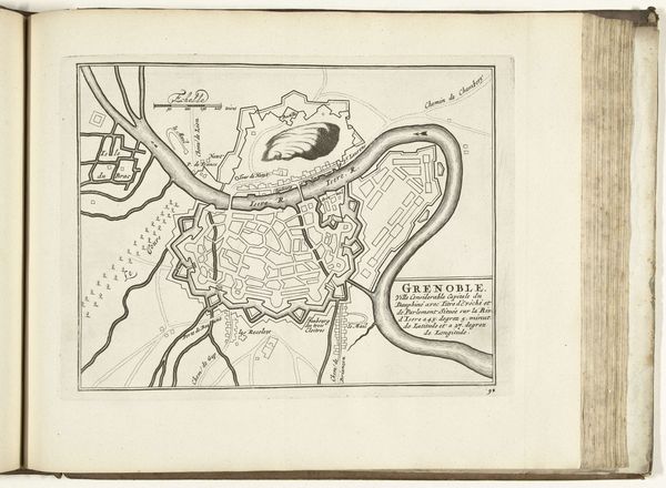
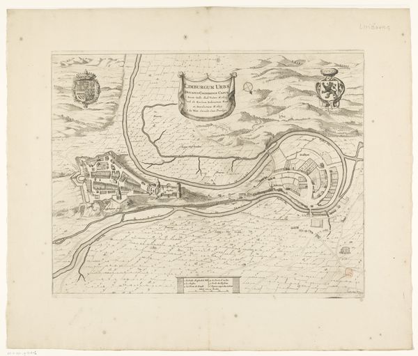
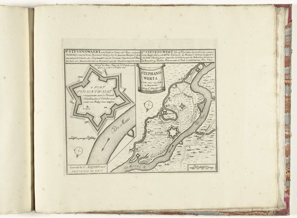
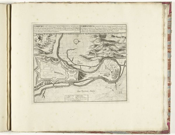
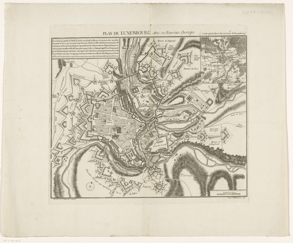
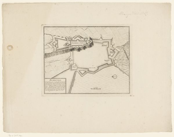
graphic-art, print, engraving
#
graphic-art
# print
#
cityscape
#
engraving
Dimensions: height 243 mm, width 280 mm
Copyright: Rijks Museum: Open Domain
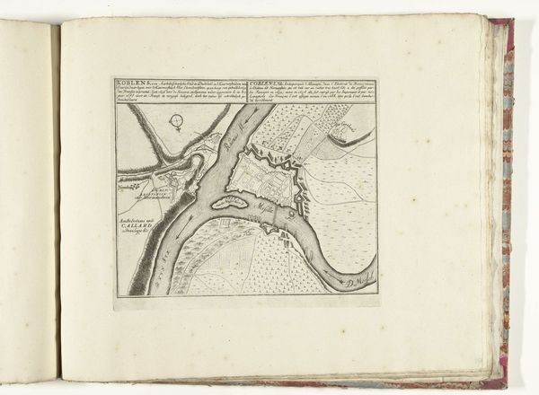
Editor: This is "Plattegrond van Koblenz," a print made sometime between 1705 and 1728. It gives a bird's eye view of the city. I'm struck by how precisely everything is laid out. How would you interpret this from a historical perspective? Curator: This piece tells us a lot about the socio-political function of art at the time. These maps weren't just geographic tools; they were strategic assets. The print served to showcase military readiness and civic planning, especially to those in power. Note the prominent display of fortifications. What does that suggest about the city’s concerns at that time? Editor: So it's less about accurately representing the city and more about demonstrating power? Curator: Precisely. Consider who commissioned it and why. It wasn’t for the average citizen. It’s meant to impress, inform, and potentially intimidate rival powers. The engraving technique also played a role – reproducible, detailed, and suggesting an air of authority and control. Editor: That's fascinating. It reframes how I see maps. It's not just geography, it’s propaganda, in a way. Curator: Indeed. These images played an active role in shaping perceptions and reinforcing existing power structures. Understanding this adds depth to the artistry involved, wouldn’t you agree? Editor: Absolutely. I will definitely think about the power dynamics behind the image from now on. Thanks!
Comments
No comments
Be the first to comment and join the conversation on the ultimate creative platform.
More like this