About this artwork
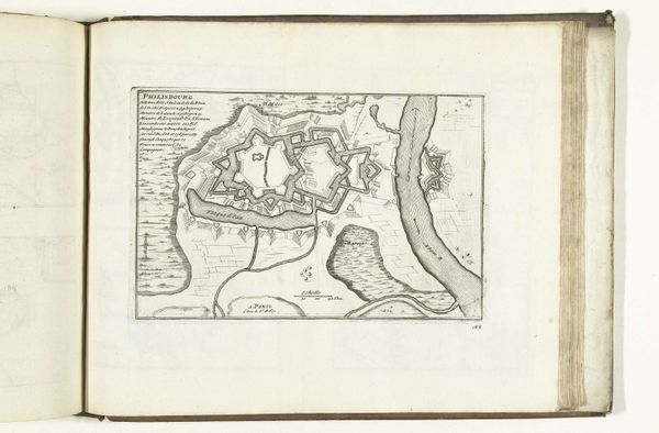
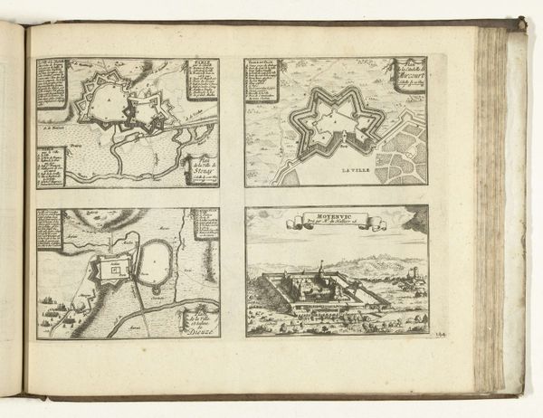
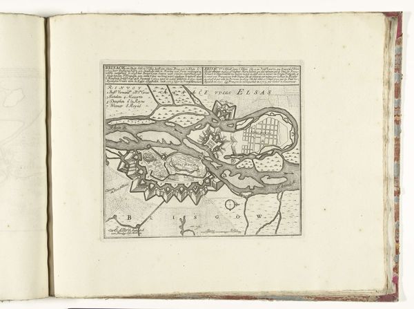
Abraham Allard created this map of the fort of Stevensweert between 1701 and 1713. Allard was part of a family of mapmakers and printmakers, and in this map we see how cartography and art are deeply connected. Maps are never neutral; they are a cultural artifact reflecting the values, knowledge, and power structures of their makers. This map embodies the tensions of its time, made during the War of the Spanish Succession. It represents not just a place, but contested space, a site of strategic military importance. Notice how the fort is meticulously planned, its star shape a symbol of military might, but it is also vulnerable. Consider the lives of those who defended and attacked this fort, their stories etched into the landscape. How did this space shape the identities and experiences of soldiers and civilians alike? This map invites us to reflect on the relationship between geography, power, and identity. It is a reminder that even seemingly objective representations of space are imbued with human stories and perspectives.
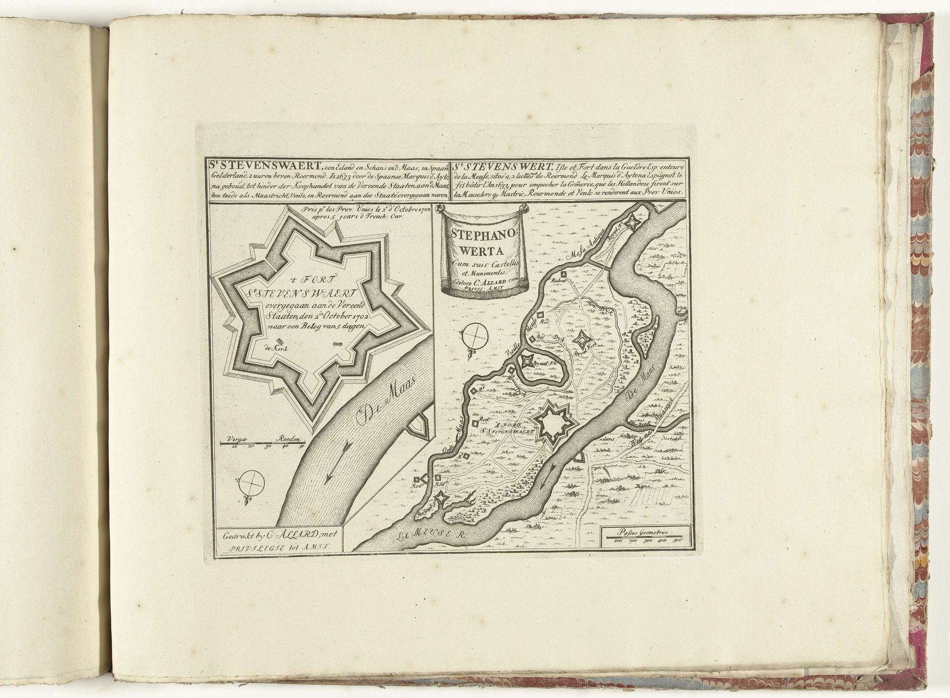
Plattegrond van het fort van Stevensweert, ca. 1701-1713
1702 - 1714
Abraham Allard
1676 - 1725Location
RijksmuseumArtwork details
- Medium
- drawing, print, paper, ink, engraving
- Dimensions
- height 248 mm, width 282 mm
- Location
- Rijksmuseum
- Copyright
- Rijks Museum: Open Domain
Tags
Comments
Share your thoughts
About this artwork
Abraham Allard created this map of the fort of Stevensweert between 1701 and 1713. Allard was part of a family of mapmakers and printmakers, and in this map we see how cartography and art are deeply connected. Maps are never neutral; they are a cultural artifact reflecting the values, knowledge, and power structures of their makers. This map embodies the tensions of its time, made during the War of the Spanish Succession. It represents not just a place, but contested space, a site of strategic military importance. Notice how the fort is meticulously planned, its star shape a symbol of military might, but it is also vulnerable. Consider the lives of those who defended and attacked this fort, their stories etched into the landscape. How did this space shape the identities and experiences of soldiers and civilians alike? This map invites us to reflect on the relationship between geography, power, and identity. It is a reminder that even seemingly objective representations of space are imbued with human stories and perspectives.
Comments
Share your thoughts