print, paper, ink, engraving
#
baroque
#
ink paper printed
# print
#
paper
#
ink
#
cityscape
#
genre-painting
#
history-painting
#
engraving
Dimensions: height 235 mm, width 282 mm
Copyright: Rijks Museum: Open Domain
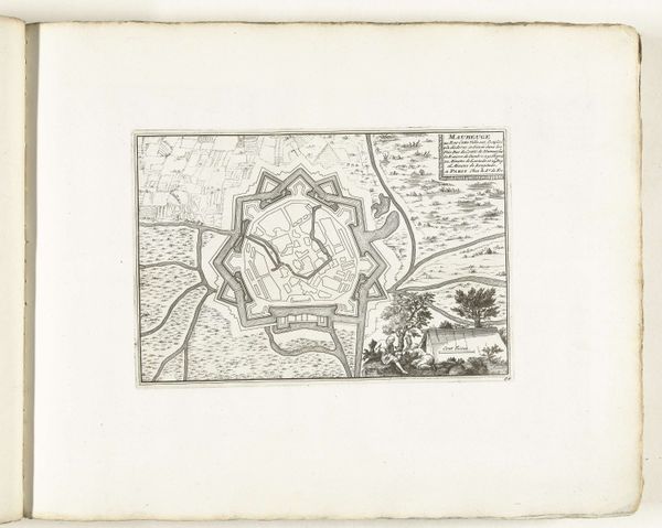
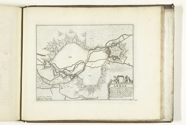
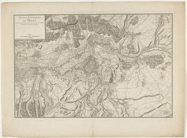
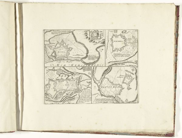
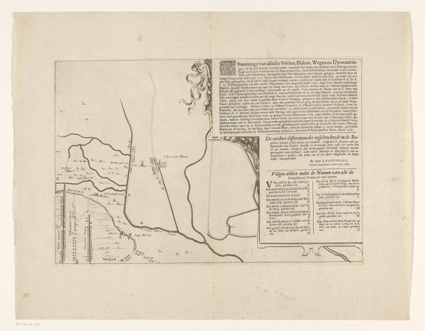
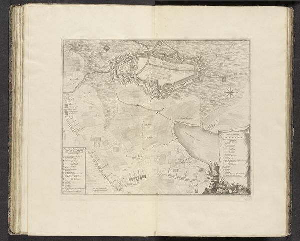
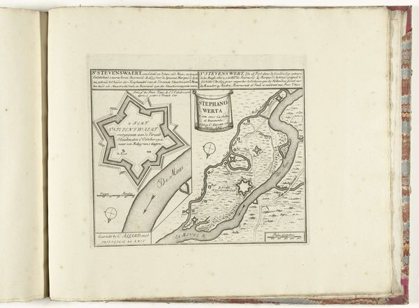
Abraham Allard produced this map of Limburg as an engraving sometime between 1701 and 1713. Maps like these were more than geographical tools; they were statements of power and identity during a period of intense geopolitical struggle. This map reflects the cultural and political tensions of the time. The Low Countries were a nexus of European power struggles, caught between Spanish, French, and Dutch interests. Mapping, therefore, became an act of claiming space and asserting control. It defined not only the physical layout of a place, but also who had the authority to define it. Consider how cartography intersects with concepts of nationalism and colonialism. The map offers an emotional connection to a time of conflict and negotiation. It invites reflection on how communities define themselves through territory, and how maps, like this one, play a role in shaping our understanding of identity and belonging.
Comments
No comments
Be the first to comment and join the conversation on the ultimate creative platform.
More like this