drawing, ink, engraving
#
drawing
#
neoclacissism
#
ink drawing
#
pen sketch
#
ink
#
geometric
#
cityscape
#
engraving
Dimensions: height 374 mm, width 415 mm
Copyright: Rijks Museum: Open Domain
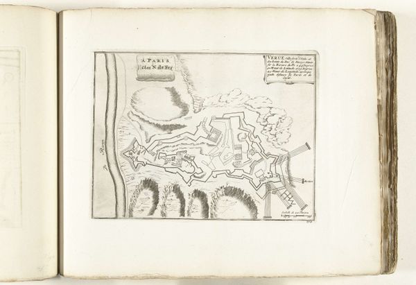
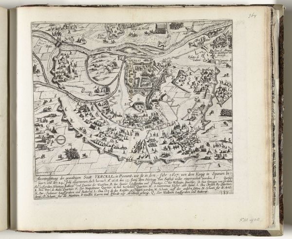
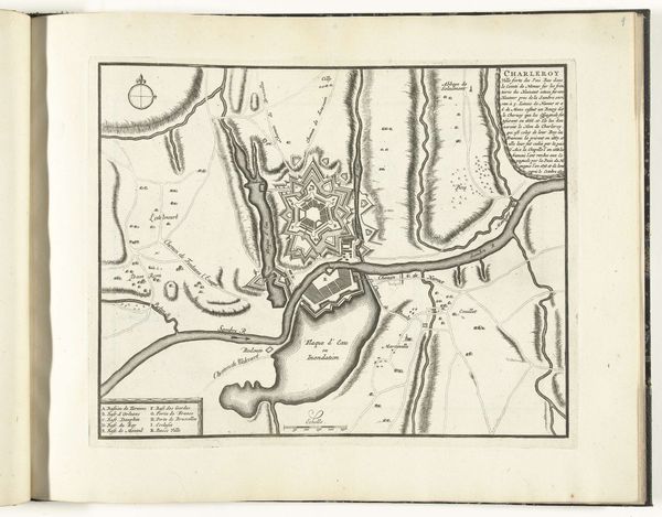
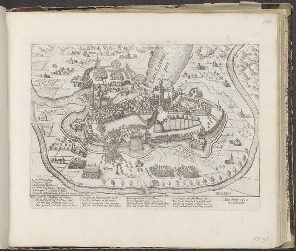
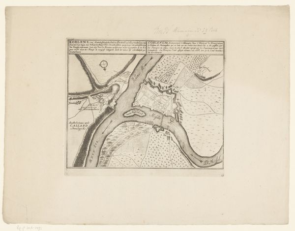
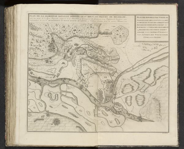
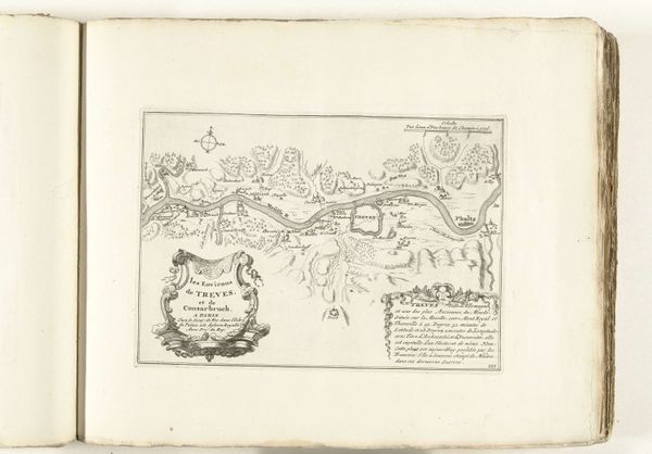
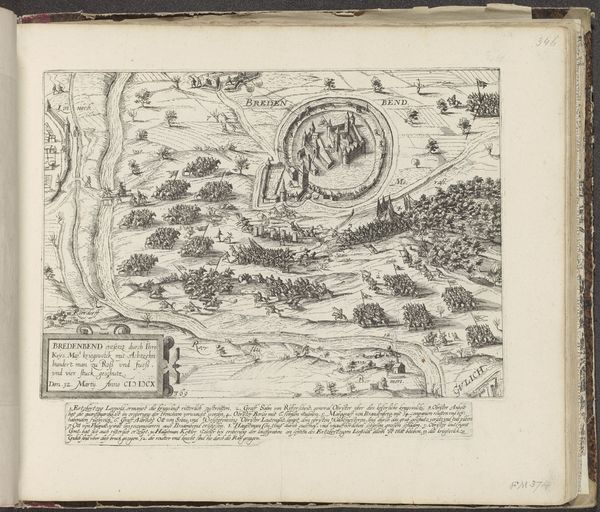
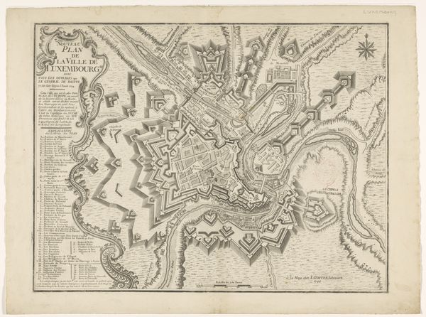
C. Maillort’s “Plattegrond van Luxemburg, met een kaart van zijn omgeving” presents a detailed, top-down view of Luxembourg, surrounded by its environment. Cartography has always been about power. The seemingly neutral act of mapping is imbued with the desires of those who commission it. The lines, symbols, and scales used aren't just objective measurements, they are a coded language that tells us who is in control. This map provides a meticulous layout of the city and its fortifications, all under the guise of offering geographical information. It subtly reinforces the dominance of those who commissioned it. It’s no accident that such maps often coincided with periods of intense territorial disputes, strategic military planning and resource exploitation. The level of detail, from the individual buildings to the contours of the land, evokes the social hierarchies within the city and surrounding areas, inviting us to consider who benefits from this structured representation, and who might be marginalized or erased by its very precision.
Comments
No comments
Be the first to comment and join the conversation on the ultimate creative platform.
More like this