drawing, print, ink, pen, engraving
#
drawing
#
dutch-golden-age
# print
#
pen illustration
#
pen sketch
#
old engraving style
#
landscape
#
ink
#
geometric
#
pen
#
cityscape
#
engraving
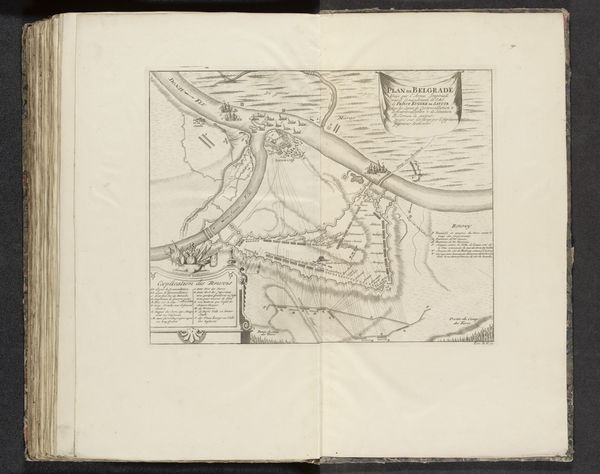
Dimensions: height 375 mm, width 487 mm
Copyright: Rijks Museum: Open Domain
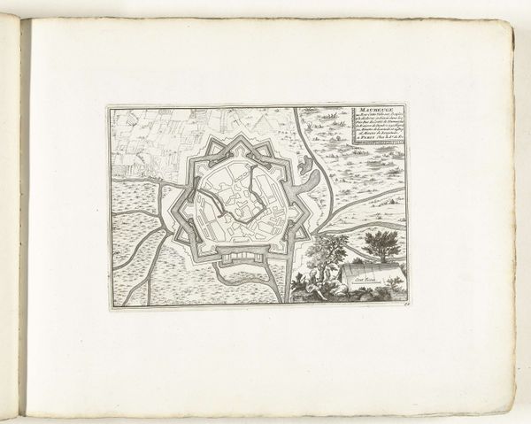
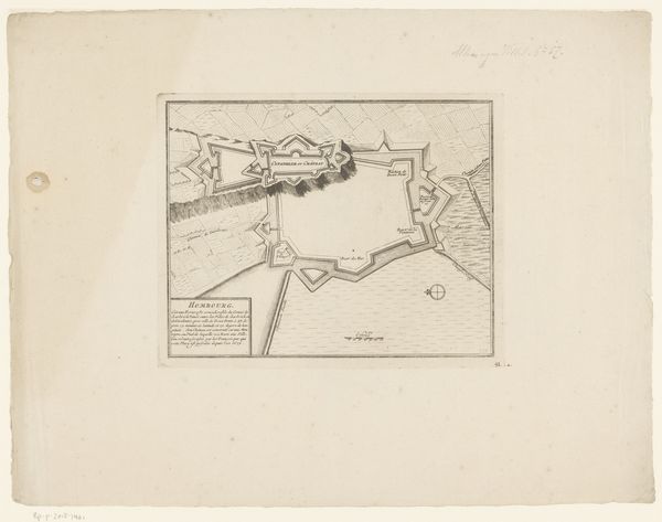
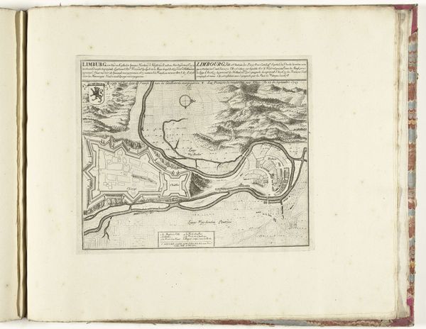
This is a 1597 anonymous print, a "Plattegrond van Lingen met de versterkingen," or map of Lingen with its fortifications. The print would have been made by incising lines into a copper plate, applying ink to the recessed areas, and then pressing paper against the plate to transfer the image. The precision and detail achieved through this labor-intensive process highlight the importance of accurate cartography for military and strategic purposes. Look closely, and you can discern the city's layout, fortifications, and surrounding landscape, all rendered with meticulous care. The act of engraving itself, with its reliance on skilled handwork, underscores the value placed on craftsmanship and technical expertise in early modern Europe. In its time, this map would have been more than just a guide; it was a tool of power, reflecting the complex interplay of knowledge, technology, and military might. It's a reminder that even seemingly simple objects can reveal profound insights into the culture and society that produced them.
Comments
No comments
Be the first to comment and join the conversation on the ultimate creative platform.
More like this