#
pen drawing
#
mechanical pen drawing
#
pen illustration
#
pen sketch
#
old engraving style
#
personal sketchbook
#
pen-ink sketch
#
thin linework
#
pen work
#
sketchbook drawing
Dimensions: height 180 mm, width 261 mm
Copyright: Rijks Museum: Open Domain
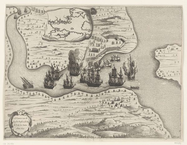
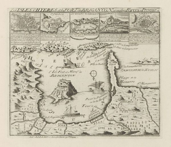
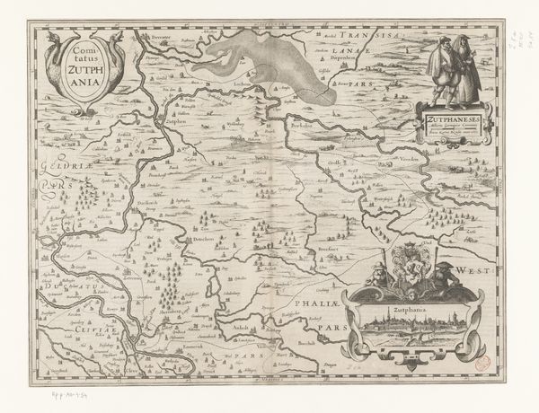
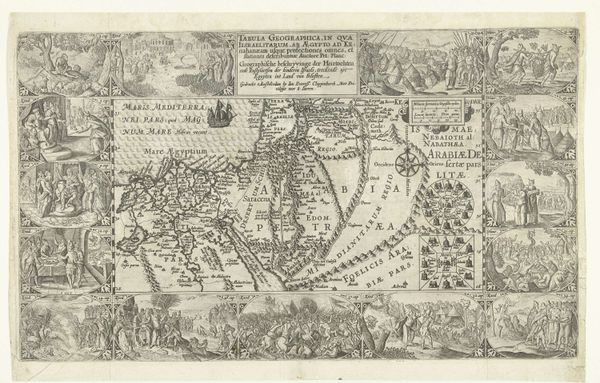
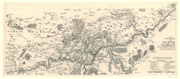
This is an anonymous engraving at the Rijksmuseum, titled 'Map of the Battle of Landen, 1693'. The composition is dominated by a network of delicate lines forming a bird's-eye view of the battlefield. The texture of the paper contrasts with the precise, graphic representation of the landscape and military deployment. This contrast evokes a sense of detached observation, framing the chaos of battle within a structured, almost serene, visual order. The anonymous artist uses semiotic precision; strategic arrangements of troops are mapped, suggesting a calculated rationality imposed upon the unpredictable nature of conflict. This interplay between order and disorder reflects broader philosophical tensions of the time, in which the Enlightenment emphasis on reason sought to make sense of a world still deeply marked by violence and uncertainty. The map challenges fixed meanings, inviting viewers to interpret the landscape and the events depicted through a lens of both strategic calculation and human experience.
Comments
No comments
Be the first to comment and join the conversation on the ultimate creative platform.
