drawing, print, etching
#
drawing
# print
#
etching
#
landscape
#
etching
#
cityscape
Dimensions: height 603 mm, width 1019 mm
Copyright: Rijks Museum: Open Domain
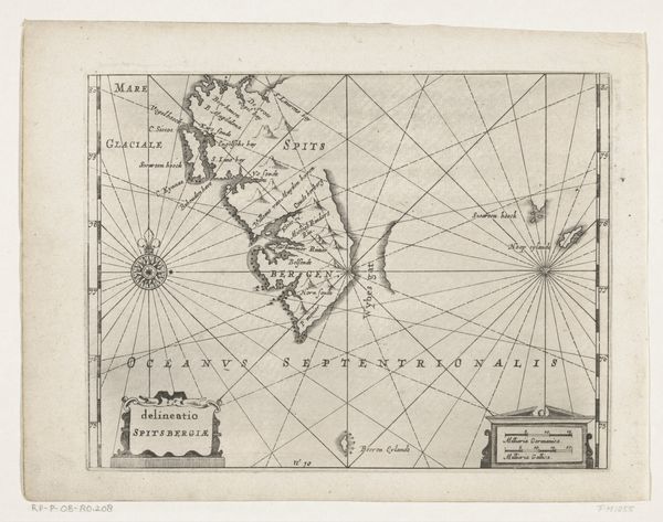
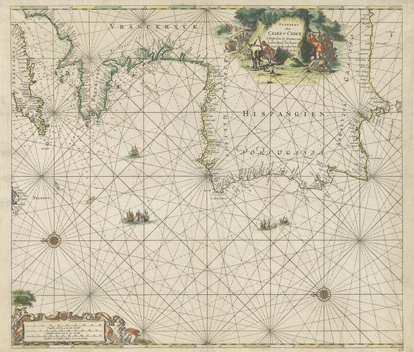
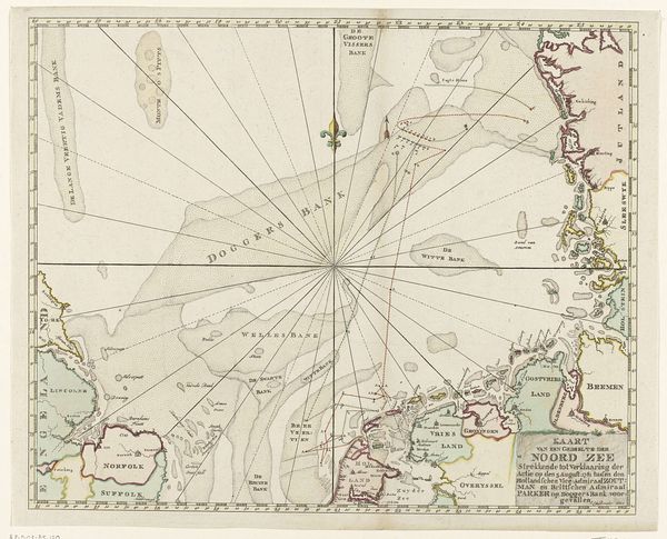
Hendrik Lynslager made this sea chart of the Strait of Gibraltar and the Bay of Tangier, probably sometime in the first half of the 18th century. The chart is made from paper, ink, and possibly watercolor. The process of creating such a chart involved meticulous cartography, engraving, and printing. The fine lines you see were incised into a copper plate, which was then inked and pressed onto paper. The accuracy of these charts was crucial for maritime trade and naval operations, reflecting the intersection of craft, science, and commerce. The map is more than just a navigational tool, it is a document of labor and trade; these maps were commodities, and their production involved skilled artisans, reflecting the economic systems of the time. Thinking about this map reminds us that even seemingly technical or scientific objects are the result of human skill, hard work, and ingenuity.
Comments
No comments
Be the first to comment and join the conversation on the ultimate creative platform.
More like this