drawing, print, paper, watercolor
#
drawing
# print
#
landscape
#
paper
#
watercolor
#
romanticism
Dimensions: height 513 mm, width 620 mm
Copyright: Rijks Museum: Open Domain
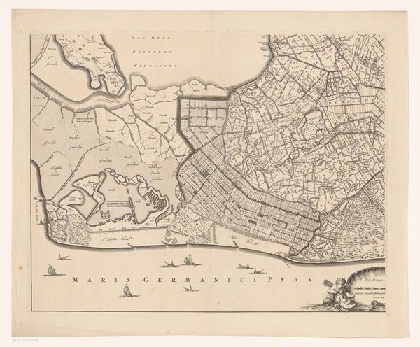
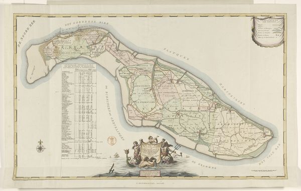
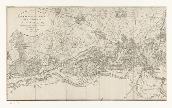
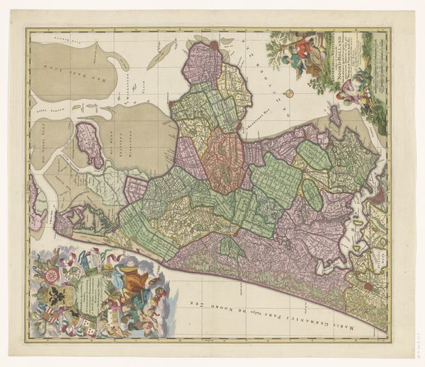
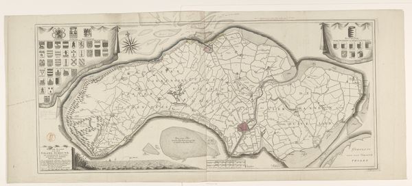
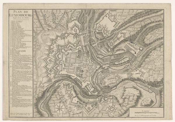
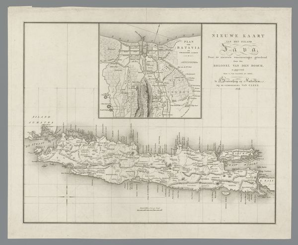
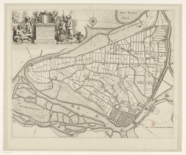
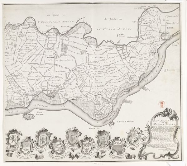
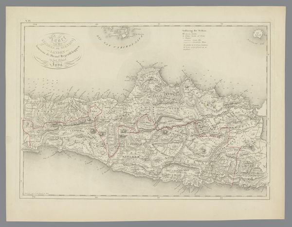
Curator: What a fascinating example of cartography. This is "Deel van een kaart van Suriname," or "Part of a Map of Suriname," dating back to 1835. It’s attributed to Daniël (I) Veelwaard, crafted with drawing, printmaking, and watercolor on paper, and it's part of the Rijksmuseum's collection. Editor: It strikes me immediately by its delicate colors—soft blues and greens—which gives it a dreamlike, almost unreal quality. Curator: That romanticism contrasts sharply with the brutal realities of colonial mapping at the time. This map isn't just a representation of land; it's an assertion of power, a claim of ownership over Indigenous territories and the forced labor of enslaved people. The color-coded regions would signify different forms of land use and ownership, encoding layers of colonial structure and injustice within the landscape itself. Editor: Yes, the lines and colors are tools here. The rivers become sinuous pathways not only for navigating the terrain but also visually guiding our gaze through the structure. Note the strategic placement of text labels which add depth, layering information and subtly dictating how we process its composition. Curator: Maps like these played a pivotal role in shaping the historical narrative around colonialism. This wasn’t an objective rendering, but a visual construction legitimizing resource extraction, territorial control, and the exploitation of both people and land. The visual beauty that initially captures our attention is inextricably linked to these systems of power. We should remember the individuals, voices and identities often missing from these colonial-era depictions. Editor: A valuable point, reminding us that formal qualities are never neutral but instead are historically contingent and charged with socio-political implications. For instance, the carefully depicted coastline emphasizes contours and edges, essentially defining the boundaries of ownership in terms of visual language. The map performs as much as it informs. Curator: Precisely. Approaching this artwork from today requires that we not only consider Veelwaard's technique, but question the ideological framework from which the map originates and its lingering impacts on social and geographical understanding today. It serves as an invitation to critically assess visual conventions. Editor: I'm taking away so much more after your reading than I noticed initially. It encourages a more active form of seeing.
Comments
No comments
Be the first to comment and join the conversation on the ultimate creative platform.
