drawing, ink
#
drawing
#
landscape
#
ink
#
geometric
#
line
#
cityscape
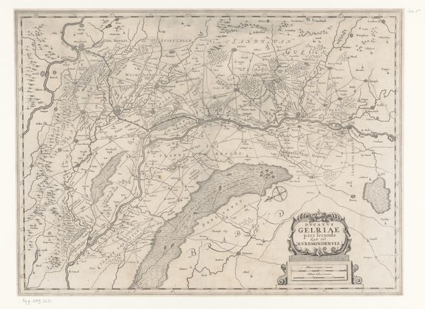
Dimensions: height 378 mm, width 634 mm
Copyright: Rijks Museum: Open Domain
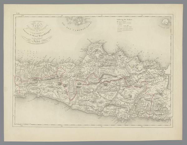
This is a map of the area northwest of Arnhem, created by C. van Baarsel en Zoon. The detailed lines, shapes, and delicate hatching of the map create a complex visual texture that invites us to decode its symbolic order. The structure of the map is defined by a network of lines, each serving as a signifier within a semiotic system: roads, borders, and topographical features. The composition is carefully organized, with the town of Arnhem acting as a focal point. Linear precision is contrasted by organic shapes representing wooded areas, and the strategic placement of textual labels adds another layer to its visual syntax. The map operates as a language, where each element is a sign contributing to a larger narrative about space, power, and perception. By examining this cartographic representation, we are prompted to consider how maps not only reflect geographical reality, but also construct it through visual encoding and cultural interpretation. The map is therefore not a neutral document, but a structured argument about the world.
Comments
No comments
Be the first to comment and join the conversation on the ultimate creative platform.
More like this