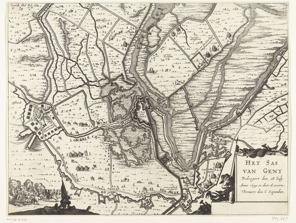
drawing, ink, engraving
#
drawing
#
baroque
#
ink
#
geometric
#
cityscape
#
engraving
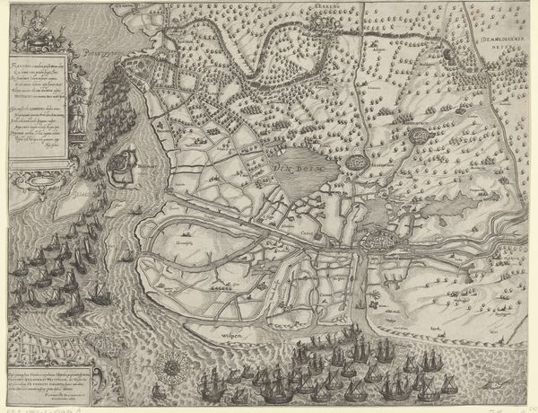
Dimensions: height 641 mm, width 859 mm
Copyright: Rijks Museum: Open Domain
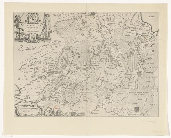
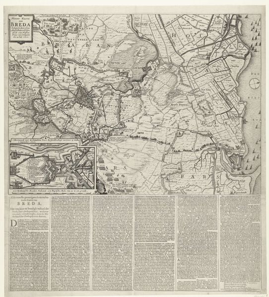
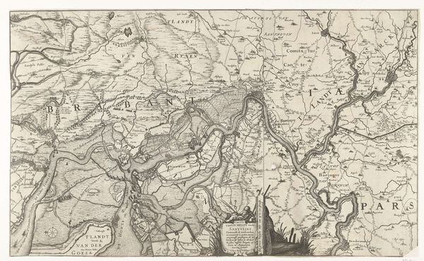
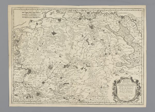
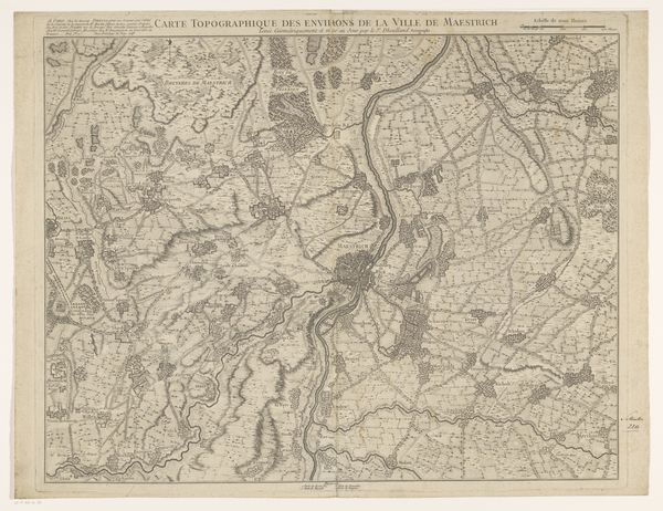
This is "Kaart van de omgeving van Châteaufort en Versailles," a detailed map made by Pierre François Tardieu. The dominant visual experience here is the intricate network of fine lines that meticulously trace the topography and layout of the land. The map is rendered in monochrome, heightening the focus on the linear structure and compositional arrangement. The density of lines varies, creating textures that delineate different types of landscapes, from the ordered grids of cultivated fields to the dense patterns of wooded areas, and hinting at an emotional response of being deeply involved in the details of the landscape. The act of mapping is deeply intertwined with semiotics, each line and symbol a signifier in a system that communicates spatial relationships, boundaries, and ownership. Tardieu’s work operates as a form of poststructuralist discourse, challenging the notion of a fixed, objective representation of space. Instead, it offers a constructed view, reflecting the priorities and perspectives of its time, as well as engaging in new ways of thinking about space and representation. The map's careful articulation reminds us that representation is never neutral. Instead, it always embodies a particular viewpoint and serves specific cultural and philosophical ends.
Comments
No comments
Be the first to comment and join the conversation on the ultimate creative platform.
More like this