19th century
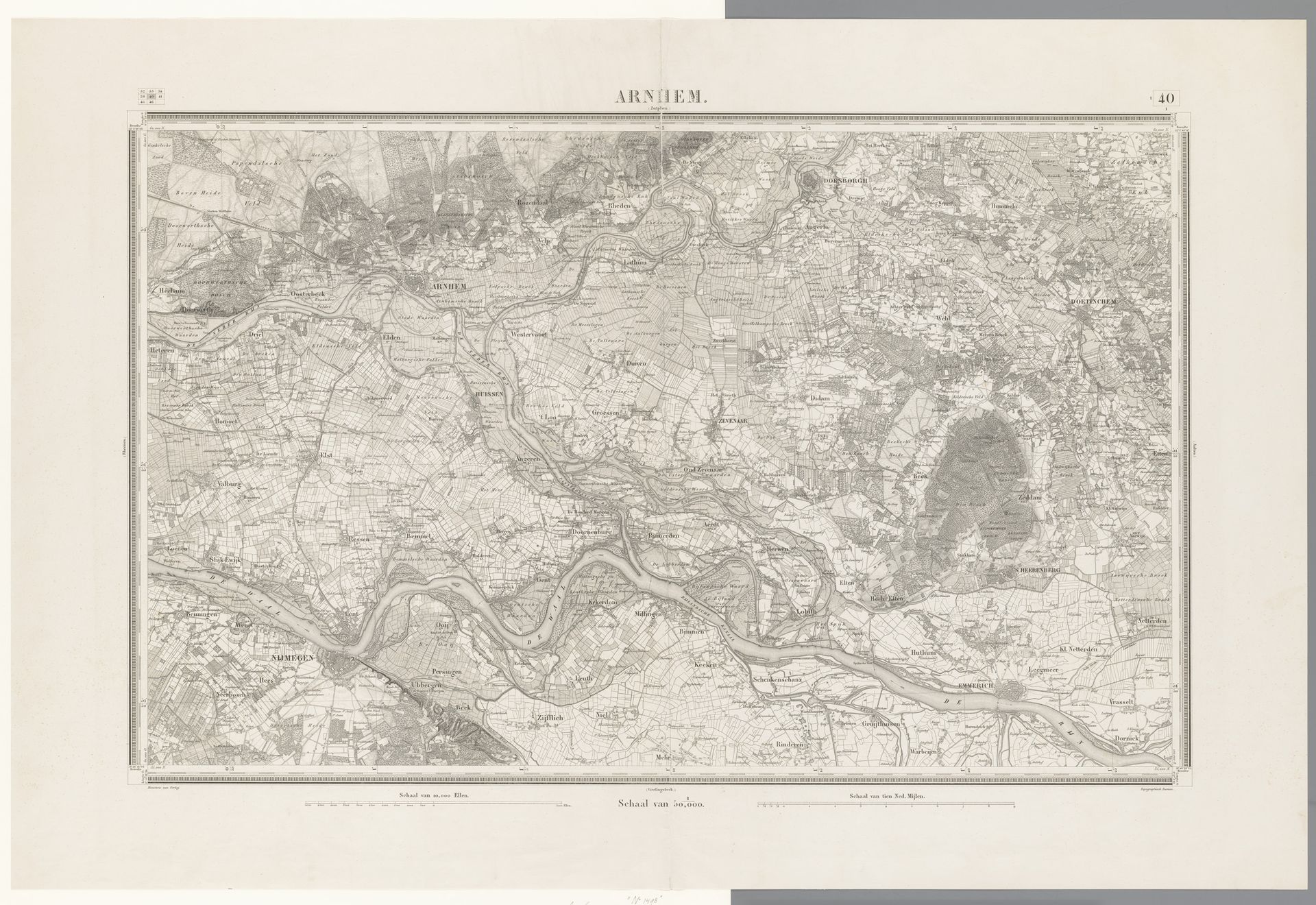
Kaart van de omgeving van Arnhem
Listen to curator's interpretation
Curatorial notes
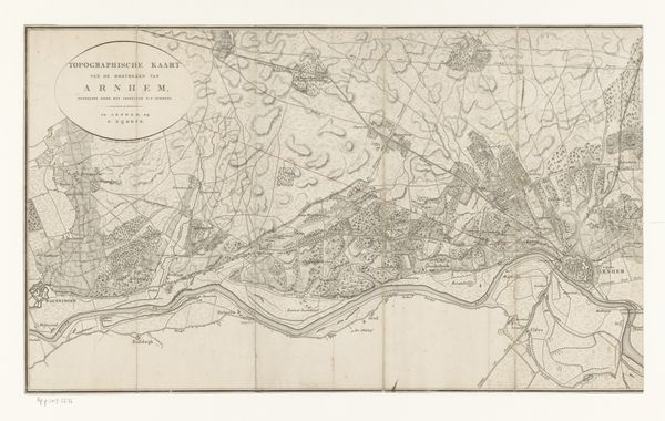
This is an anonymous map of the area around Arnhem, rendered in meticulous detail. Maps like this one are more than just guides; they are powerful tools in shaping our understanding and control of the world. Consider the social and political implications of mapping. In whose interest is this map made? Does it serve military, commercial, or administrative purposes? The level of detail suggests a desire for comprehensive knowledge, perhaps reflecting a centralized authority seeking to exert control over the territory and its resources. The cultural references embedded in the map, such as the language used for place names, the symbols representing different features, and the overall aesthetic style, reveal the values and priorities of the society that produced it. Historical associations with Arnhem, a city with a rich history, may also influence the map's meaning. By examining archival records, historical documents, and other primary sources, we can uncover the hidden stories behind this seemingly objective representation of space and appreciate the intricate relationship between art, power, and society.