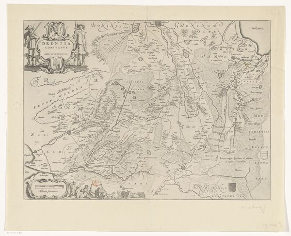
print, etching, engraving
# print
#
etching
#
landscape
#
etching
#
cityscape
#
academic-art
#
engraving
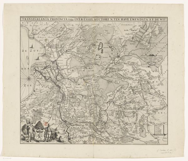
Dimensions: height 439 mm, width 557 mm
Copyright: Rijks Museum: Open Domain
Curator: Looking at this, my first thought is of incredible detail. There's such precise line work giving form to this entire province. Editor: Yes, that's immediately apparent. This etching and engraving, titled "Kaart van Overijssel," was produced sometime between 1726 and 1750 by an anonymous artist. You can see how the lines create not just geography but almost a topography of cultural knowledge. Curator: Exactly! Every line feels intentional. Consider the rivers as arteries, roads as veins connecting settlements – tiny marks indicating something so much bigger. These aren't just locations, they're lives and histories being charted. But who commissioned such an intensely detailed map, and what kind of labor went into it? Editor: One could argue the medium—the etching itself—democratizes this kind of knowing by making it reproducible. Maps previously hoarded by elites are more widely circulated, impacting trade, resource control, and, in turn, everyday lived experience. We also should not neglect the symbolism. Notice the bottom left vignette featuring an idealized river god reclined beneath a heraldic shield. Curator: Oh, you're right. I see the heraldry and river god now—a representation of the province almost like a mythological figure, giving authority and prestige to Overijssel's landscape. Perhaps even speaking to the cultural pride attached to this territory? But, thinking materially, those tiny towns represent material culture that went to its production such as ink, paper, the metal plate, and human labor of design, distribution. Editor: And how these materials informed distribution networks. The texture and character of that paper probably dictates where the print could even travel. All this information carefully planned to be passed to viewers using a formal and stylized landscape painting. Curator: It's a visual codex! These symbols become shorthand for understanding the lay of the land and the power it holds. The viewer could interpret these clues almost intuitively based on cultural convention. Editor: Definitely. Seeing this detailed rendering really gets me wondering about the consumption of space—literally consuming land and water by seeing it represented, packaged, made saleable through artistic process and image production. Curator: I'll never see a map the same way again after considering that! The depth of symbols intertwined with such materiality tells a richer story than merely showing you how to get from one place to another. Editor: Indeed. This anonymous creation becomes a silent testimony, whispering volumes about culture and resource across time through these lines.
Comments
No comments
Be the first to comment and join the conversation on the ultimate creative platform.
More like this