drawing, graphic-art, print, engraving
#
drawing
#
graphic-art
#
baroque
# print
#
geometric
#
line
#
cityscape
#
engraving
Dimensions: height 346 mm, width 506 mm
Copyright: Rijks Museum: Open Domain
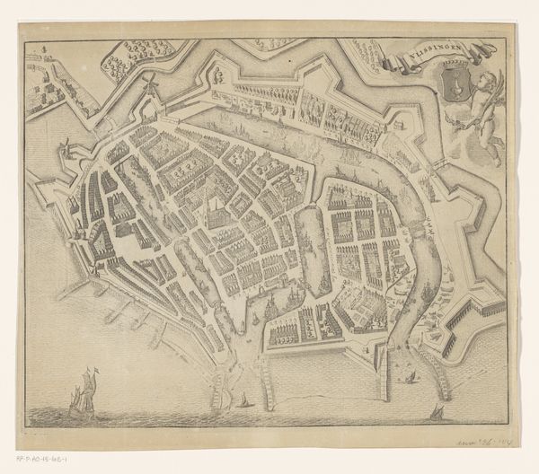
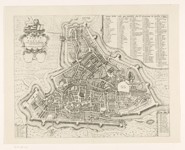
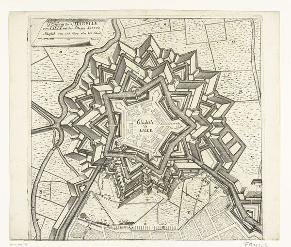
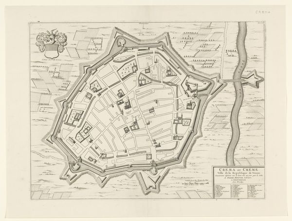
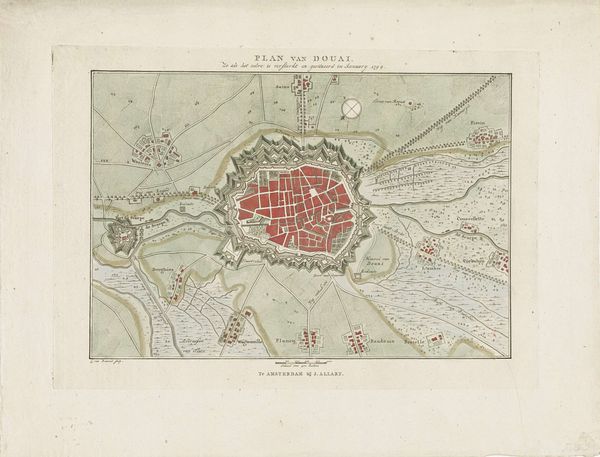
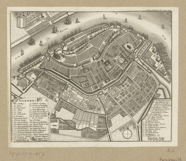
Editor: So, here we have what’s called "Plattegrond van Oostende," a detailed map of Oostende, created sometime between 1726 and 1742. It’s an anonymous work rendered in print, drawing, and engraving. There is an incredible amount of precise linework. It really captures a sense of the Baroque era, I think, the Age of Reason. The town is surrounded by water, which is fascinating, it’s so deliberate. I guess what strikes me is this interplay between geometry and nature. What do you make of this piece? Curator: Ah, yes, geometry's dance with nature, isn't that something? The stark lines against the watery chaos. Maps back then were, you know, not just about navigation. They were statements. Assertions of control, almost like taming the wild world onto paper. See how Oostende is nestled, sort of caged, in those star-shaped fortifications? It whispers of paranoia, of endless wars and the need to defend. Almost like an oyster holding a city. Editor: That’s interesting, like a precious pearl inside the oyster of defenses. I hadn’t really thought about it as an expression of control or even fear. Curator: Right! And the grid layout inside – a symbol of order imposed onto the organic messiness of life. People were striving for rational utopias even as the waves crashed against the ramparts, both physically and philosophically! Does it feel like success, though? The sharp delineation can feel artificial when one thinks about people walking those streets and living in that grid. The Baroque was rife with those contradictions. Editor: Yeah, it’s like the map promises this perfect, organized existence, but reality… I imagine it was far messier. Curator: Exactly! These aren’t Google Maps where you just put the location, these maps say a lot about what its culture deemed valuable and what worried them. You can look at a place through that worry too! Editor: I never would’ve considered the map's anxieties, so to speak! I thought it was simply informative but the anxieties are so telling. Curator: Right? An engraving holds so much more when you peek behind the lines.
Comments
No comments
Be the first to comment and join the conversation on the ultimate creative platform.
More like this