drawing, ink
#
drawing
#
baroque
#
ink
#
geometric
#
cityscape
Dimensions: height 321 mm, width 337 mm
Copyright: Rijks Museum: Open Domain
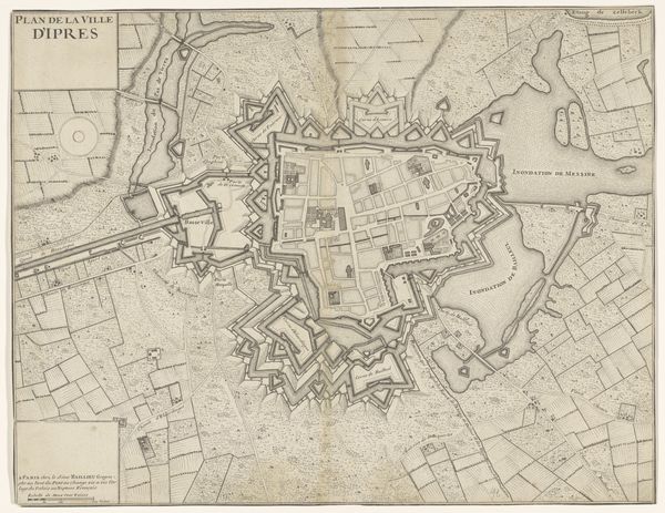
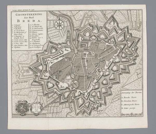
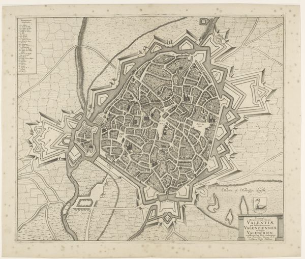
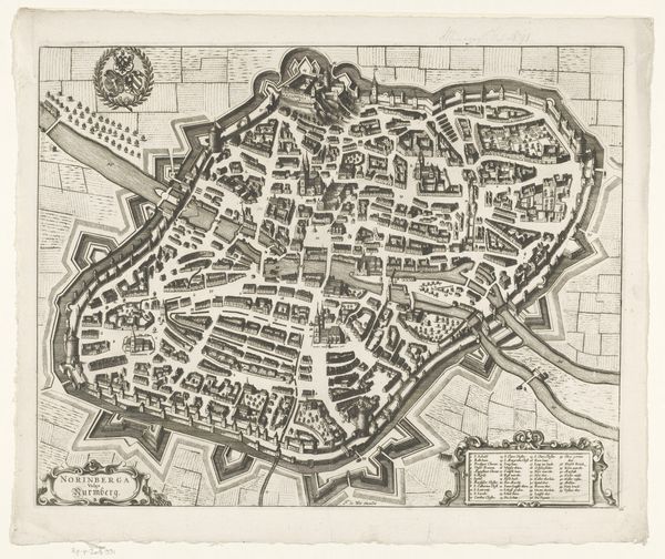
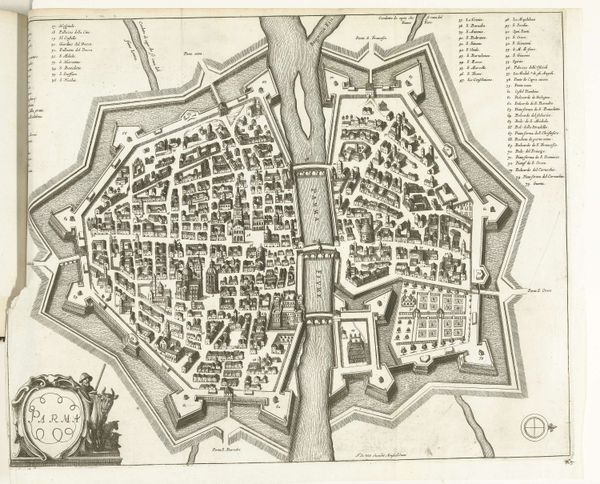
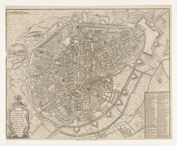
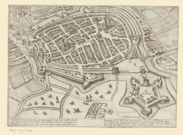
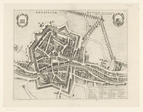
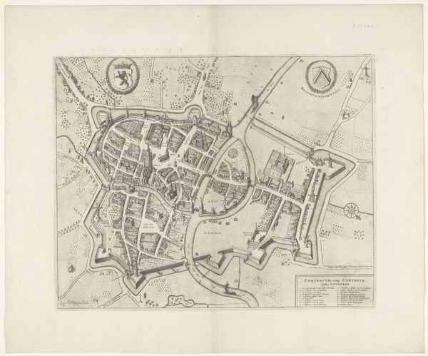
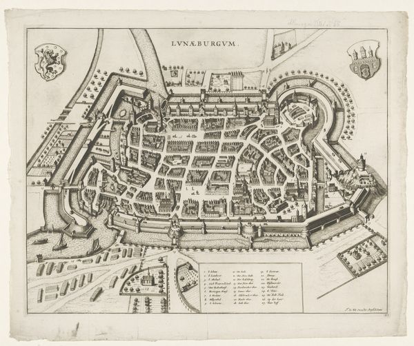
This is an anonymous etching from 1708, titled "Plan of the Citadel of Lille." It depicts a bird's-eye view of the Citadel, a fortress city in France, during a time of intense military and political maneuvering in Europe. The image creates meaning through its detailed visual encoding of power and control. Note the intricate, star-shaped fortifications – a design intended to maximize defensive capabilities against invading forces. Made during the War of the Spanish Succession, this map reflects the strategic importance of Lille, a city contested by various European powers. The institutional history here is tied to military engineering and cartography, both fields deeply intertwined with state power. This map doesn't merely represent space, it asserts dominance and projects military strength. Further understanding requires exploring archives of military history and cartography, shedding light on the power dynamics that shaped the creation and reception of this image. After all, the meaning of art is contingent on its social and institutional context.
Comments
No comments
Be the first to comment and join the conversation on the ultimate creative platform.
