print, engraving, architecture
#
baroque
# print
#
geometric
#
line
#
cityscape
#
history-painting
#
engraving
#
architecture
Dimensions: height 420 mm, width 473 mm
Copyright: Rijks Museum: Open Domain
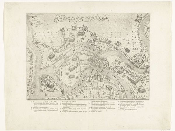
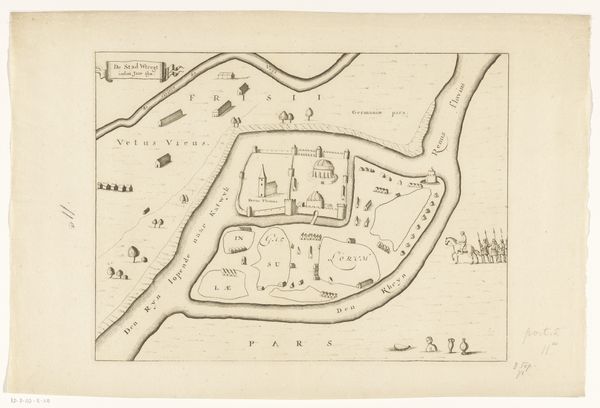
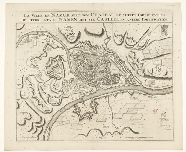
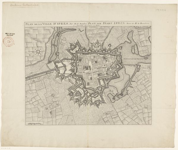
Pieter van Call II made this ‘Vestingplattegrond van Maubeuge’ – a plan of the fortified city of Maubeuge – sometime in the early 18th century using etching and engraving techniques on paper. Call's choice of printmaking suggests a desire for reproducibility and wide distribution. It is a precise, technical drawing, intended for military or administrative use. The crisp lines and detailed rendering of the city's layout speak to a culture of surveillance and control, where mapping was a tool of power. It is a world of military engineering and resource management, which also has a strong connection to the rise of capitalism and colonialism during the period. The act of etching and engraving itself would have demanded specialized labor and a well-organized workshop, involving collaboration between the artist, skilled artisans, and print sellers. These practices, while seemingly distant from the battlefield, also reflect the structures of labor that underpinned European society at the time. Ultimately, Call's print connects aesthetics, military strategy, and socio-economic structures.
Comments
No comments
Be the first to comment and join the conversation on the ultimate creative platform.
More like this