About this artwork
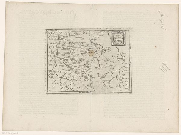
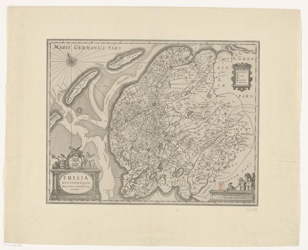
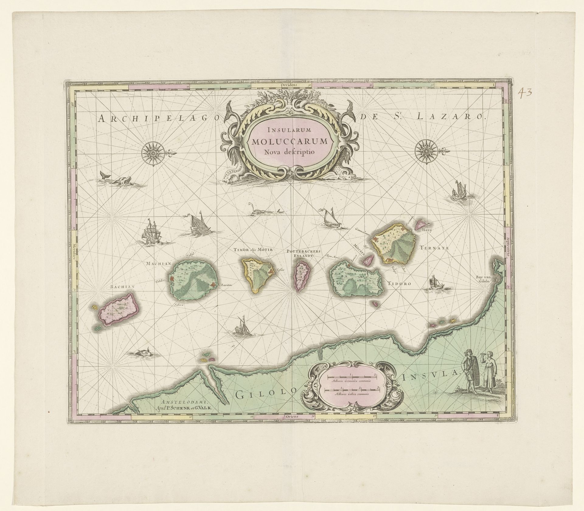
This is Pieter Schenk's 'Kaart van de Noord-Molukken,' or map of the Northern Moluccas, made around the turn of the 18th century. It's an engraving, a printmaking process involving cutting lines into a metal plate, inking it, and pressing it onto paper. The fine lines and details speak to Schenk's skill as an engraver, a craft that demanded precision and patience. Note the delicate rendering of the coastlines, the ships, and the decorative cartouches, each contributing to a sense of precision. But this map is more than just a demonstration of craft. It's a document of empire, charting territories rich in spices, then a highly lucrative commodity. The act of mapping itself was a form of claiming, turning distant lands into objects of knowledge and control. The map therefore bears witness to the intertwined histories of craft, commerce, and colonialism.
Artwork details
- Medium
- print, engraving
- Dimensions
- height 380 mm, width 492 mm
- Location
- Rijksmuseum
- Copyright
- Rijks Museum: Open Domain
Tags
Comments
Share your thoughts
About this artwork
This is Pieter Schenk's 'Kaart van de Noord-Molukken,' or map of the Northern Moluccas, made around the turn of the 18th century. It's an engraving, a printmaking process involving cutting lines into a metal plate, inking it, and pressing it onto paper. The fine lines and details speak to Schenk's skill as an engraver, a craft that demanded precision and patience. Note the delicate rendering of the coastlines, the ships, and the decorative cartouches, each contributing to a sense of precision. But this map is more than just a demonstration of craft. It's a document of empire, charting territories rich in spices, then a highly lucrative commodity. The act of mapping itself was a form of claiming, turning distant lands into objects of knowledge and control. The map therefore bears witness to the intertwined histories of craft, commerce, and colonialism.
Comments
Share your thoughts