drawing, print, engraving
#
drawing
#
dutch-golden-age
# print
#
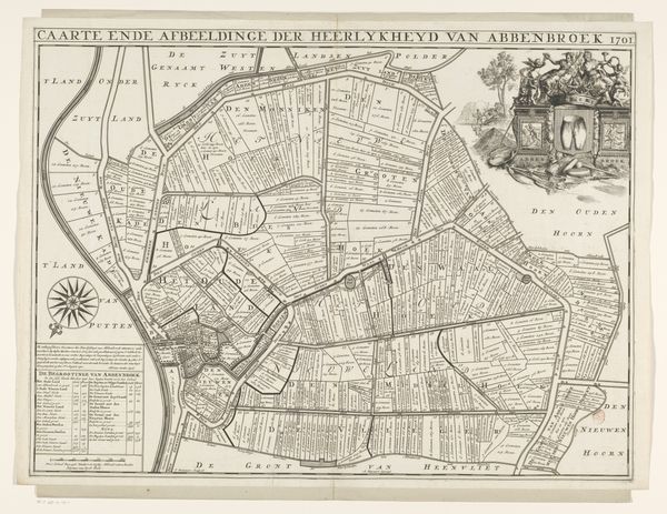
landscape
#
engraving
Dimensions: height 492 mm, width 667 mm
Copyright: Rijks Museum: Open Domain
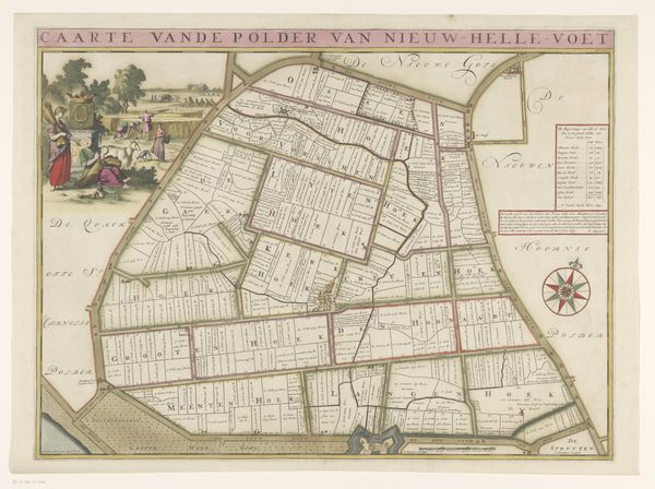
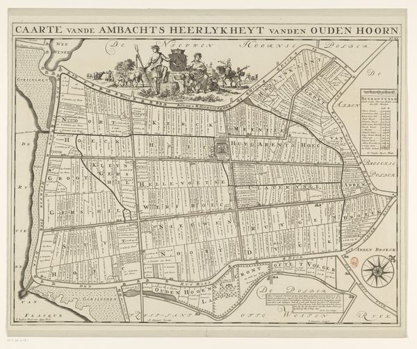
Jan Stemmers created this map of the Nieuw-Helvoet polder with etching. The composition is dominated by a grid-like structure, dividing the polder into meticulously labeled parcels. Linear precision defines the layout, yet the etching technique introduces subtle textural variations, hinting at the organic reality beneath the imposed order. The eye is drawn to the interplay between the geometric regularity of the land divisions and the calligraphic flourishes of the lettering, reflecting the tension between nature and human intervention. This tension manifests in the map's semiotic function. It is not just a representation of space, but an assertion of control, transforming the landscape into a legible system of signs. Each line, each label, reinforces a structure that reflects the social and economic organization of the time, imposing a rational framework onto the natural world. Notice how the etching’s detail emphasizes the imposition of structured space, which reveals the philosophical underpinnings of an era intent on mastering its environment through categorization and control.
Comments
No comments
Be the first to comment and join the conversation on the ultimate creative platform.
More like this