drawing, ink
#
drawing
#
dutch-golden-age
#
landscape
#
ink
#
geometric
#
cityscape
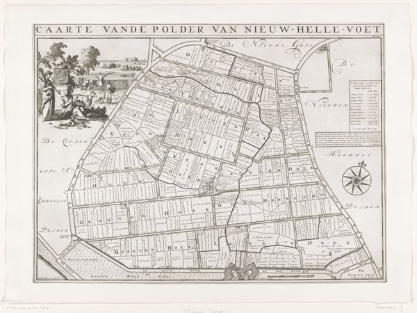
Dimensions: height 493 mm, width 659 mm
Copyright: Rijks Museum: Open Domain
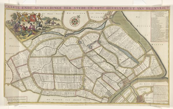
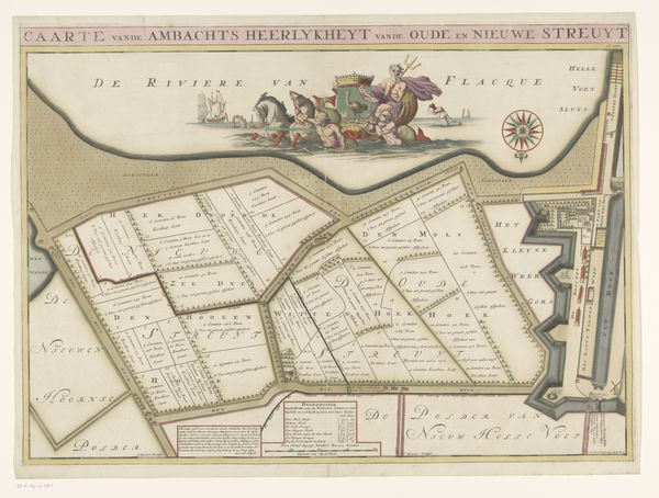
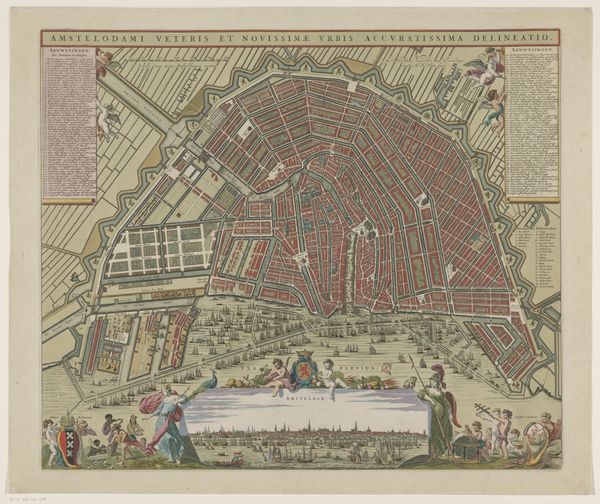
Curator: "Kaart van de polder Nieuw-Helvoet" created between 1701 and 1729, likely a pen and ink drawing, presents this Dutch landscape with geometric precision. I'm struck by the orderliness, it's as if the land itself is being mapped and categorized. What stands out to you initially? Editor: The detail is amazing! It feels both functional and beautiful. All of those little fields look carefully plotted out, yet there's also the little scene with the figures in the upper left corner which lends the work an almost pastoral air. But honestly, it's still a map. How do you interpret it? Curator: Precisely. It *is* functional, but let's consider what that function really implies in the Dutch Golden Age. This isn't just geography; it's a declaration of control and ownership. The Dutch were famously reclaiming land from the sea during this period. How does depicting that reclamation on this scale reflect the social values of the time? Editor: So it's about power, the power to shape the land? But what about the map's role; was this displayed publicly or meant for a private owner? Does the artist, Jan Stemmers, reflect the values or try to instill a political message to a group of people? Curator: A crucial point. Maps of this kind often served multiple purposes. While potentially functional for administration or land management, their artistic execution suggests a desire for display. Maps showcased the wealth and power of the commissioners and affirmed their dominance over the landscape. Artists who created those maps may want to ingratiate their potential costumers while presenting an interesting way to display dominance. Editor: I never considered how political a map could be. I tend to just consider functionality but you highlighted the way in which control over land translates to societal power, and how these images helped express those views and messages to those who had access to such a piece of art. It’s a completely different lens! Curator: Absolutely! The history in cartography offers such incredible insights. The interplay of art, power, and society reveals so much about any era.
Comments
No comments
Be the first to comment and join the conversation on the ultimate creative platform.
More like this