drawing, paper, ink, engraving
#
drawing
#
dutch-golden-age
#
pen sketch
#
landscape
#
paper
#
ink
#
geometric
#
line
#
cityscape
#
engraving
#
realism
Dimensions: height 618 mm, width 977 mm
Copyright: Rijks Museum: Open Domain
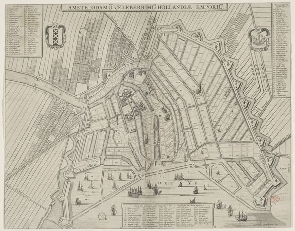
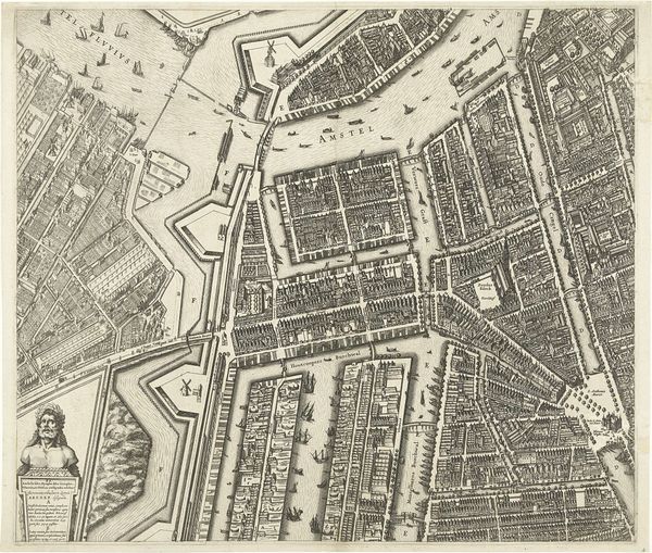
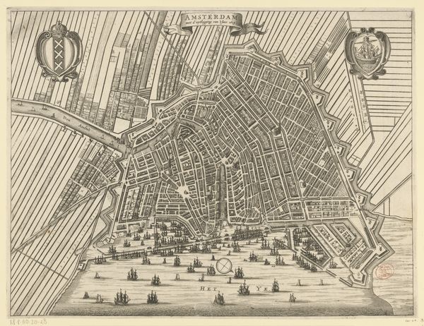
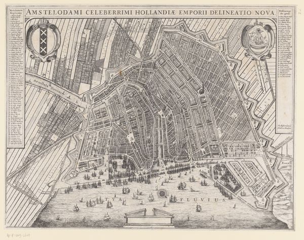
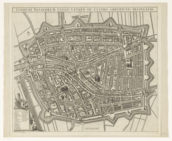
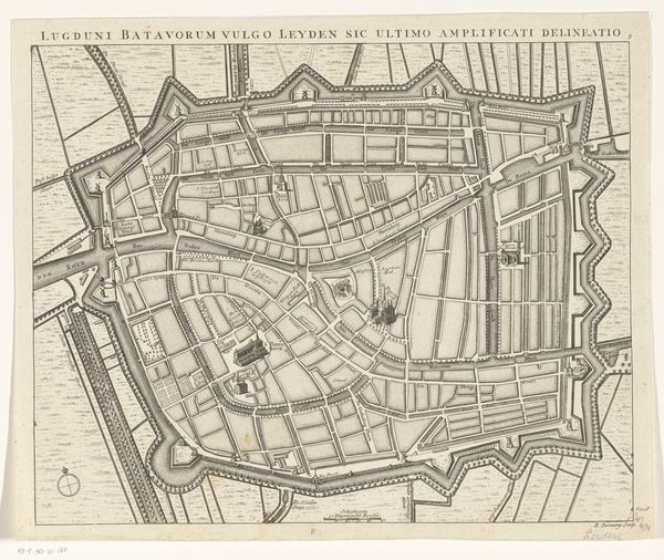
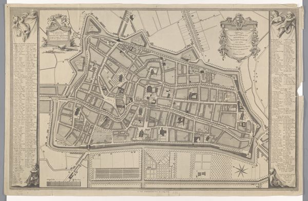
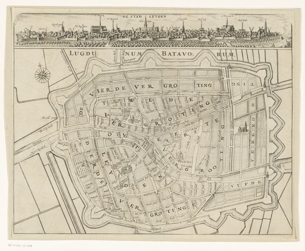
Curator: Today, we’re looking at a detailed ink drawing from 1798 by Cornelis van Baarsel: "Plattegrond van Amsterdam"—a plan of Amsterdam. Editor: The sheer density of lines is the first thing that strikes me. It almost vibrates with detail. A mesmerizing display of ordered chaos, or perhaps a chaotic order? Curator: Indeed. And I think this piece can be read as an index of the social structures of the period. Notice the distinct sectors of the city, each with its unique architectural markers, suggesting a very stratified society, not unlike contemporary parallels we might draw with other metropolises in the world. Editor: I’m drawn to the radial design of the canals. From a purely formal standpoint, this creates a stunning visual rhythm, pulling the eye towards the center, then releasing it outwards. A network rendered with such graphic precision, turning utility into art. Curator: Absolutely, and we might further examine the relationship between this aesthetic order and the exercise of power. City planning was, and is, never politically neutral. Here, the design might implicitly convey a message of Dutch ingenuity and control, mirroring broader colonial endeavors in a moment of increased revolutionary activity within and outside of the country's borders. Editor: You highlight an important tension between representation and reality. On one hand, it seems so objective. On the other, this order is definitely an idealized vision, a projection of how the city *should* function. It speaks to the complexities that are always found in utopian planning, both spatial and societal. Curator: A sentiment I completely echo. Thinking about the engraver, the act of mapping was clearly not only a scientific but also a profoundly ideological and aesthetic enterprise, that can speak to how national identity was formed and consolidated at a very pivotal point in Dutch and European history. Editor: Precisely. I find it interesting how this map encourages a dialogue between precision and imagination, representation and abstraction. An almost sculptural exercise in visualizing information that makes it so captivating. Curator: Indeed. I find myself re-thinking our reliance on maps. I never before questioned whose reality are these navigations reflecting. Editor: It's definitely food for thought, even in our era of ubiquitous GPS!
Comments
No comments
Be the first to comment and join the conversation on the ultimate creative platform.
More like this