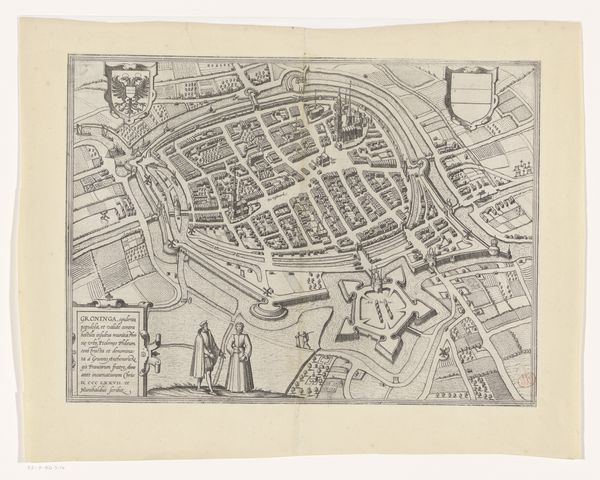
drawing, print, engraving
drawing
dutch-golden-age
geometric
cityscape
engraving
Dimensions: height 410 mm, width 525 mm
Copyright: Rijks Museum: Open Domain
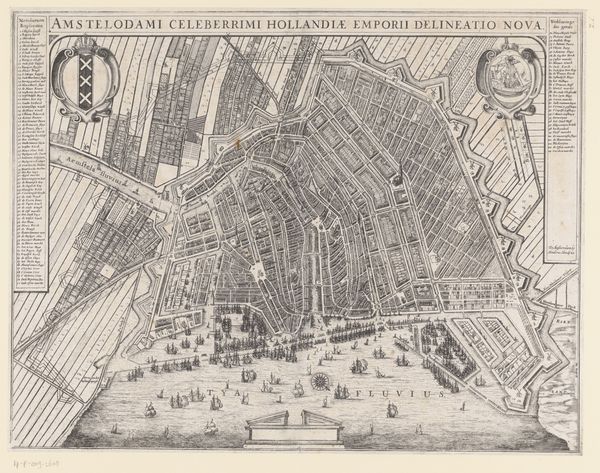
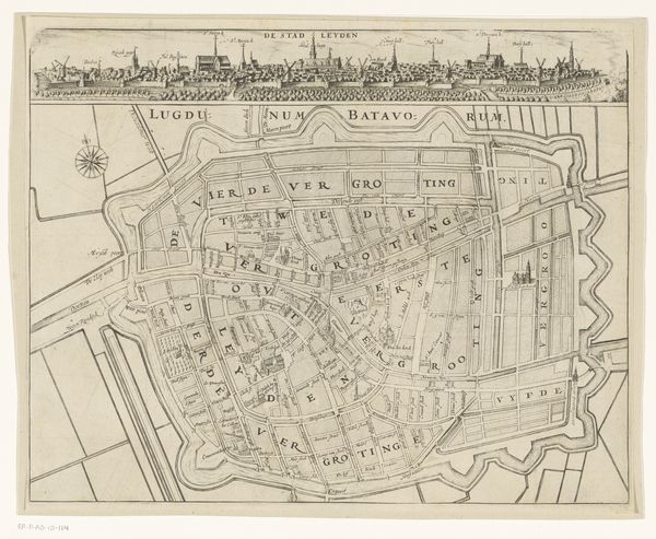
Curator: This engraving offers a fascinating glimpse into Amsterdam during the Dutch Golden Age. Created between 1651 and 1656 by an anonymous artist, “Plattegrond van Amsterdam met verdeling in burgerwijken”, which translates to “Map of Amsterdam with a division into civil districts,” presents the city's layout. Editor: Oh, it's mesmerizing! Like looking into an exquisitely rendered puzzle box. The details draw me in – the delicate lines of the waterways and those tiny ships bobbing on the "Het Y", such careful rendering creates this real feeling for the urban design. Curator: Indeed. Beyond its aesthetic appeal, the print is invaluable for understanding Amsterdam's urban development, how it was segmented into districts. These were turbulent times of colonial and mercantile expansions for The Netherlands. Notice the formidable fortifications—an integral part of the city’s defenses and the regulation of burgeoning global trade at the time. Editor: I am imagining myself like a bird flying over the city, looking at where everyone lived at the time...It's incredible to consider the sheer amount of social interactions happening there. I love how practical it must have been and what a visually stimulating document. I can almost hear the sounds of a bustling, cosmopolitan port! Curator: That dynamism is palpable even now. This print reveals not just streets and canals but also the social structure. It showcases the division of neighborhoods and reflects on administrative policies of the time. Editor: It almost feels like cartography meeting art in a single creation, you know? A love letter to the city… Or, wait – a slightly detached survey from above! So cool to experience this duality! Curator: A vital intersection! Ultimately this detailed map provides more than directions. It's a lens into a specific time when the Dutch Republic redefined global economics and civic identity in ways still visible today. Editor: A dense visual record of people shaping, and being shaped by, an unprecedented explosion of mercantile wealth… Gives me chills. Thank you for expanding the lenses of perception!
Comments
No comments
Be the first to comment and join the conversation on the ultimate creative platform.