drawing, print, etching, architecture
#
architectural sketch
#
drawing
#
dutch-golden-age
#
mechanical pen drawing
# print
#
etching
#
old engraving style
#
etching
#
linework heavy
#
thin linework
#
architectural drawing
#
pen work
#
architecture drawing
#
cityscape
#
technical line art
#
architecture
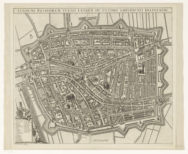
Dimensions: height 311 mm, width 375 mm
Copyright: Rijks Museum: Open Domain
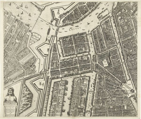
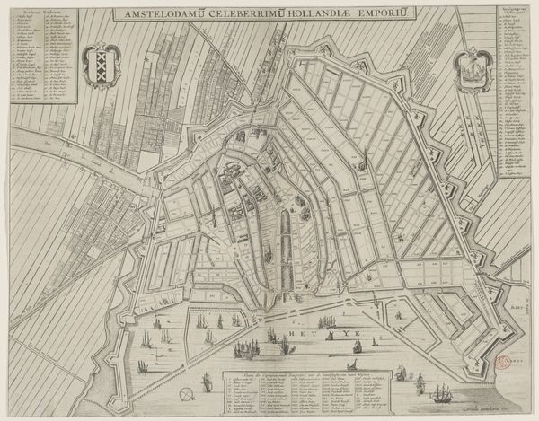
R. Benning’s map offers a bird’s-eye view of Leiden, a city enclosed by formidable fortifications, a potent symbol of protection and control. These walls, with their star-shaped projections, speak to a time of siege and defense, yet also echo the human desire to impose order upon the landscape. Consider, for instance, how the ancient Romans laid out their cities in precise grids, a pattern that resonates even here. This impulse to define and defend space is a recurring theme throughout history. You may even recall Leonardo da Vinci's sketches for city defenses, which, while more elaborate, share this same underlying concern with security. The fortifications mirror a collective memory of conflict. On a psychoanalytic level, this careful delineation of space might reflect a deeper, subconscious need for security. This map, therefore, becomes more than a simple representation of geography; it embodies a dialogue between humanity's aspirations and anxieties, resurfacing in different forms across the ages.
Comments
No comments
Be the first to comment and join the conversation on the ultimate creative platform.
More like this