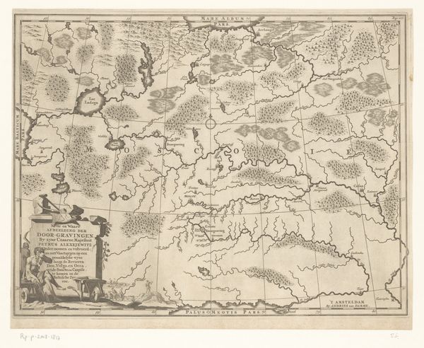
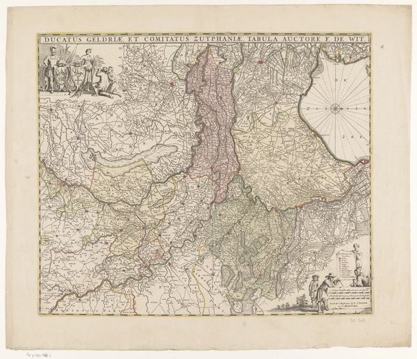
Kaart van een deel van het verloop van de Rijn, Maas en Waal c. 1635 - 1696
anonymous
Rijksmuseum
graphic-art, print, etching, engraving
graphic-art
baroque
dutch-golden-age
pen sketch
etching
old engraving style
landscape
river
etching
cityscape
engraving
Dimensions: height 157 mm, width 234 mm
Copyright: Rijks Museum: Open Domain
This is an undated map depicting the course of the Rhine, Maas, and Waal rivers, made by an anonymous artist. The rivers are the image’s central concern, but it’s also a political diagram, mapping out different territories and their boundaries. This map reflects a period of intense territorial disputes and state formation in Europe. Cartography in this era was not just about geographical accuracy; it was a tool of power, defining claims and solidifying national identities. Produced in the Netherlands, a region historically at the crossroads of European powers, it would have served a purpose in the ongoing negotiations and conflicts. The map’s visual codes, such as the detailed rendering of borders and the inclusion of territorial names, were designed to assert control and project authority. Understanding this map requires more than just an appreciation of its aesthetic qualities. We have to delve into the archives, studying treaties, political pamphlets, and the records of institutions that shaped the geopolitical landscape of the time. Only then can we fully appreciate how this image participated in the power struggles of its day.
Comments
No comments
Be the first to comment and join the conversation on the ultimate creative platform.
More like this