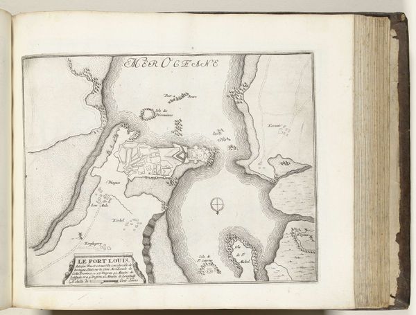
print, ink, engraving
# print
#
pen sketch
#
11_renaissance
#
ink
#
geometric
#
history-painting
#
engraving
Dimensions: height 205 mm, width 149 mm
Copyright: Rijks Museum: Open Domain
This is Simon Pinargenti's map of the island of Rhodes, made using an engraving technique. The island of Rhodes, located in the Eastern Mediterranean Sea, has been a crossroads of civilizations and conflicts for centuries. This map reflects a specific moment in its history, with the inscription referring to the Knights Hospitaller, a Catholic military order, who established themselves on the island after being driven out of Ptolemais. This map documents the movement and displacement, reflecting the ever-shifting power dynamics of the region. It gives us a glimpse into the political and religious tensions of the time, as various empires and religious orders vied for control of this strategic location. The visual style of the map, with its detailed rendering of the landscape and fortifications, reveals a blend of scientific observation and ideological messaging. Maps weren’t just geographical tools; they were statements of ownership and power. As you consider this map, reflect on the stories of conquest and resilience, of cultural exchange and conflict, that are embedded in the very fabric of this island.
Comments
No comments
Be the first to comment and join the conversation on the ultimate creative platform.
More like this